Photo by Element5 Digital from Pexels I am a huge lover of video games, and especially their maps and environments. Growing up on a wide variety of […]
Photogrammetry is the art, science, and technology of obtaining reliable information about physical objects and the environment through processes of recording, measuring, and interpreting photographic images […]
Common terms and abbreviations: UAV = Unmanned Aerial Vehicle sUAS = small Unmanned Aircraft System (less than 55lbs) RTK = Real Time Kinematic, high accuracy gnss […]
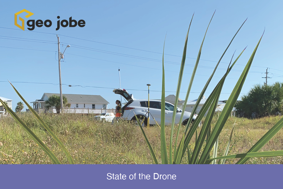
Winding down the year is a good time to reflect on the changes, applications, and direction of the small Unmanned Aerial Systems in the mapping industry. […]


