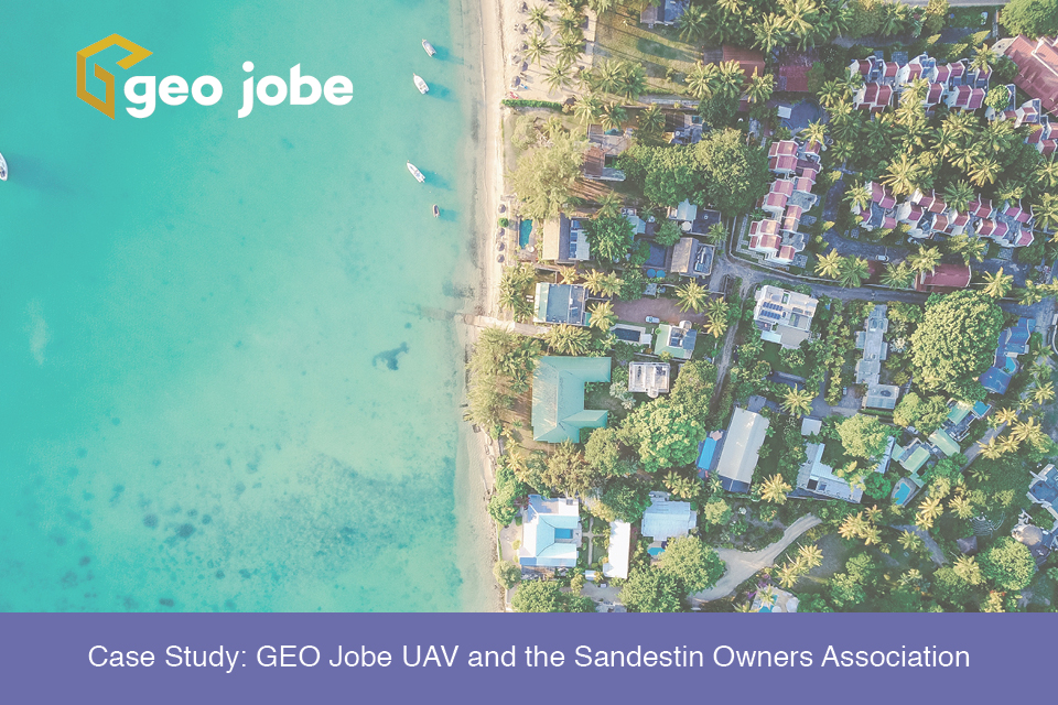
It is not uncommon for organizations to supplement their GIS data with aerial imagery captured from a manned aircraft or drone. This perspective may come as an after-thought to some, being procured after a GIS program has already been established; however, for the Sandestin Owners Association, aerial imagery came before their GIS. Three years ago, […]
Tag: planimetrics
What is a Micro GIS?
The question really isn’t “What is a Micro GIS?” It’s a small scale GIS implementation. The question is “Why Micro GIS and why now?” To start a GIS, entities need a place to start. For most GIS implementations, a georeferenced basemap is the first step. The best basemap is one that enables other layers that […]