Common terms and abbreviations: UAV = Unmanned Aerial Vehicle sUAS = small Unmanned Aircraft System (less than 55lbs) RTK = Real Time Kinematic, high accuracy gnss […]
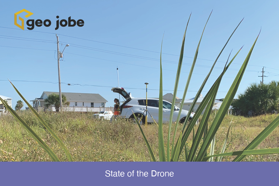
Winding down the year is a good time to reflect on the changes, applications, and direction of the small Unmanned Aerial Systems in the mapping industry. […]
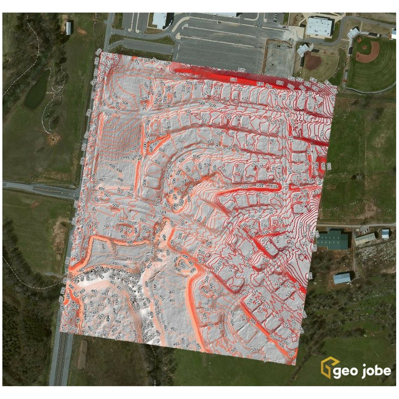
GEO Jobe has been using UAV technology over the last several years to collect, analyze, and disseminate geospatial data for clients in diverse industries from large […]
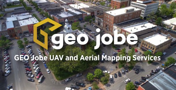
Our latest news/PR shares details of our UAV and Aerial Mapping Services group being recognized by industry leader, Pix4D, for “Smart City” mapping and the creation […]
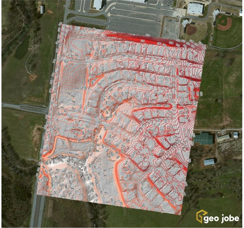
Local governments, utilities, and facility managers have a new resource at their disposal to help keep their GIS land base current and up to date while […]


