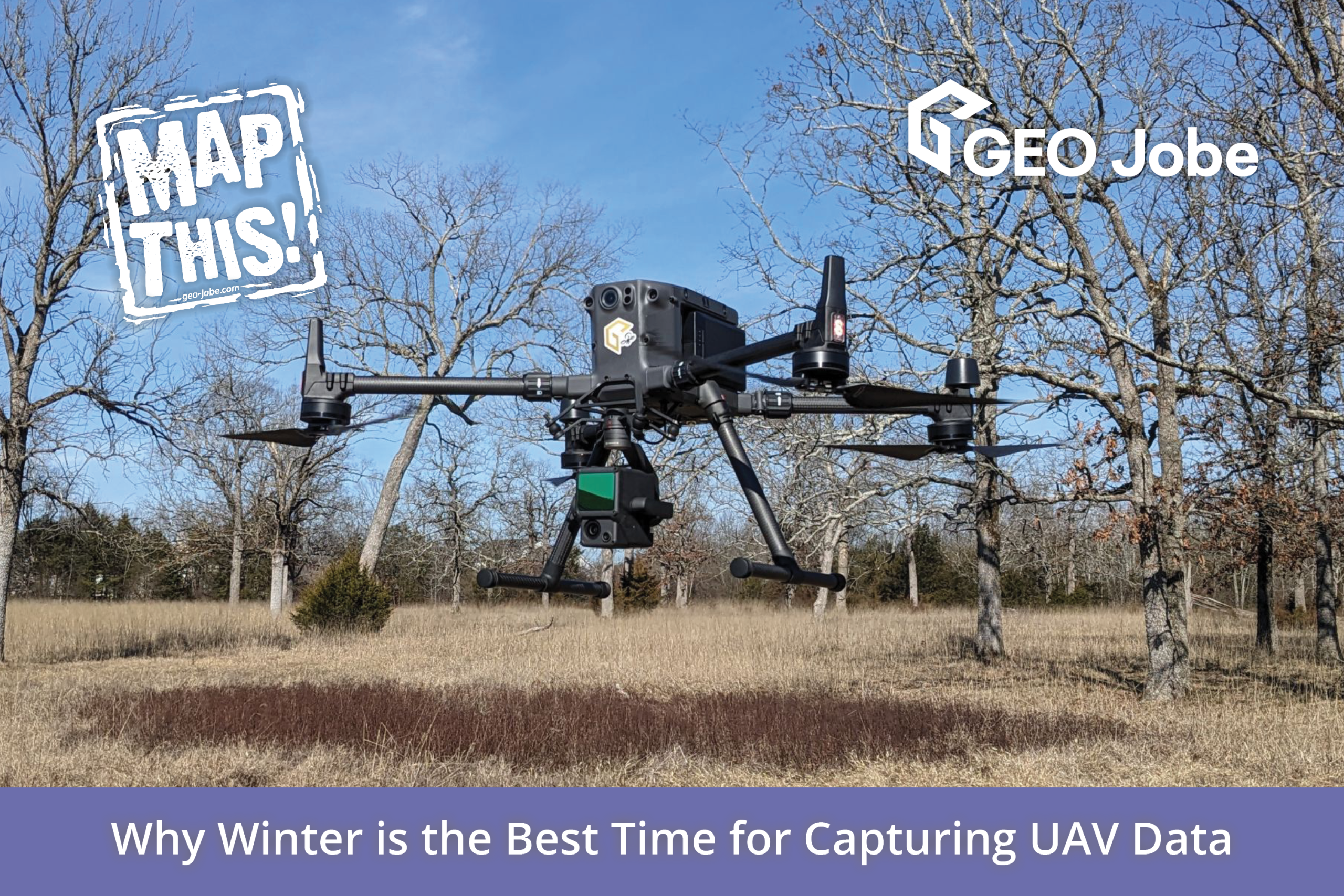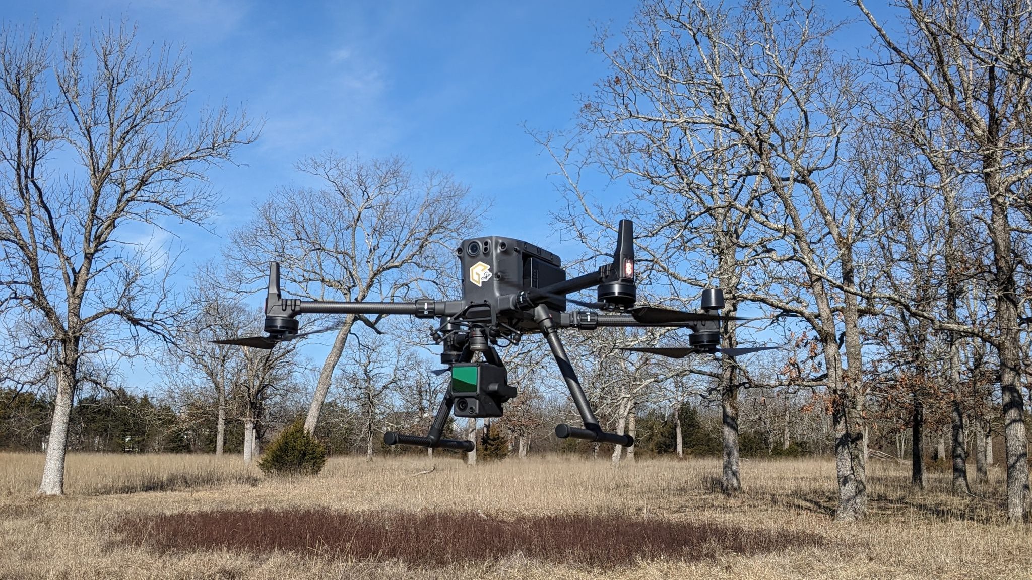
As the leaves fall and temperatures drop, many UAV operators may be tempted to put their drones away for the season. However, if you’re a pilot looking to capture aerial data, winter months can be the best time for taking to the skies.
Winter often brings crisp, clear air with reduced humidity, leading to better visibility. The absence of foliage in many regions also means that you can capture more detailed images of the terrain and structures below. This can be especially advantageous for surveying and mapping applications, where unobstructed views are crucial for accurate data collection.
It’s during this time of year that natural obstructions—such as leaves on trees, dense underbrush, and seasonal vegetation—are minimized. This leads to a more uniform data set, making it easier for photogrammetry and mapping software to identify key features without interference. The reduced clutter can result in cleaner, more accurate models and maps.
In this article, we’ll breakdown the technical advantages and disadvantages to collecting UAV data in the Winter using LiDAR and photogrammetry.
Pros of Capturing Aerial Data in Winter
LiDAR Advantages
- Improved Ground Penetration:
- The absence of leaves allows LiDAR to penetrate through tree branches more effectively, improving the accuracy of ground surface models (DTM) and measurements beneath the canopy.
- Reduced Vegetation Obstruction:
- Sparse vegetation improves the visibility of features such as trails, roads, and structures that might be obscured in other seasons.
- Better Point Density for Canopy Gaps:
- Without leaf cover, LiDAR can better capture the structure of tree branches, improving modeling of bare canopy and individual tree details.
- Higher Accuracy in Forestry Applications:
- For tasks like measuring tree diameter at breast height (DBH) or analyzing timber, leaf-off conditions provide clearer delineation of trunks and branches.
Photogrammetry Advantages
- Less Vegetation to Obscure Features:
- Bare trees reveal more ground features such as rocks, water flow patterns, and infrastructure.
- Ideal Lighting Conditions:
- Winter often provides diffused light due to overcast skies, reducing harsh shadows in aerial images and improving photogrammetric stitching quality.
- Reduced Atmospheric Interference:
- Cool, dry air in winter can lead to less atmospheric distortion, improving image clarity. And providing better GNSS observations.
Cons of Capturing Aerial Data in Winter
While Winter is ideal for collecting aerial data with your drone, there are some notable disadvantages, too. Here are some examples.
LiDAR Disadvantages
- Impact of Snow Cover:
- Snow can obscure ground features and create inaccuracies in ground surface models. Heavy snowpack may also lead to overestimation of ground elevation.
- Limited Canopy Data:
- Leaf-off conditions reduce the ability to capture canopy density and foliage metrics.
- Challenges with UAV Operation:
- Cold temperatures can reduce battery life and affect the performance of UAVs and sensors.
- Weather Uncertainty:
- Frequent cloud cover, precipitation, and strong winds in winter can hinder data collection efforts.
Photogrammetry Disadvantages
- Reduced Vegetation Texture:
- Bare trees lack the textural variation provided by leaves, which can complicate 3D reconstruction and make the terrain appear less natural in models.
- Snow and Ice Coverage:
- Snow can obscure features like roads, boundaries, and smaller ground structures, reducing detail in the final model.
- Cold-Related Equipment Issues:
- Similar to LiDAR, batteries and sensors may underperform in cold weather, and cameras may fog up.
- Shorter Daylight Hours:
- Reduced daylight limits the time available for flights, requiring careful mission planning.
- Visual Uniformity:
- Large expanses of snow can create homogenous images, complicating feature matching during photogrammetry processing.
Tips for Successful Winter UAV Data Collection
To maximize your winter UAV data collection, consider the following tips:
- Prepare for Cold Weather: Ensure your drone and batteries are rated for lower temperatures. Bring extra batteries, as cold can reduce battery life.
- Dress Appropriately: Stay warm and comfortable, as you’ll likely be outside for extended periods.
- Check Weather Conditions: Monitor weather forecasts closely. While clear skies are ideal, windy conditions can also be more pronounced in winter.
- Plan for Limited Daylight: Days are shorter in winter, so plan your flights accordingly to make the most of available light.
Conclusion
Winter is often overlooked as a prime time for UAV data collection, but it offers a host of advantages that can enhance your results. Winter collection is particularly advantageous for LiDAR projects requiring ground modeling or trunk data, while photogrammetry benefits are more limited and project-specific. However, challenges like extreme cold weather, shorter days, and snow cover require careful planning for both methods.
Did you know GEO Jobe offers UAV mapping services?
For over a decade, GEO Jobe has been providing high-quality UAV services, delivering aerial imagery and advanced digital mapping solutions. These services have become integral to industries such as utilities, local government, planning, surveying and engineering.
Our licensed flight team specializes in fast, efficient data collection at competitive prices, helping clients keep their GIS data up-to-date and accurate. Whether for large-scale projects or routine updates, GEO Jobe’s UAV services deliver the insights and precision clients need.
Click here for more about our UAV Services.
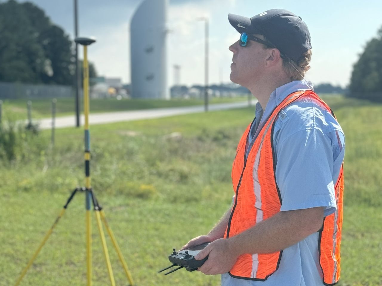
Do you have a project you’d like to submit for an estimate? Create your FREE FlyThis job!
Check out these other articles from our MapThis! blog:
- The Rise of UAVs: Transforming the Cinematic Landscape
- Vanderbilt University: Landscape Planning with UAV Tech
- UAV Vertical Asset Inspection: Techniques and Benefits
- Why “Drone” Is a Dirty Word: The Difference Between Drones and Professional UAV Equipment
- Q&A with Reed Davis, UAV Business Development
GEO Jobe is a leading GIS software and geospatial solutions provider, serving more than 10,000 organizations globally. GEO Jobe is best known for developing the most popular applications in the ArcGIS Marketplace, including Admin Tools for ArcGIS, Backup My Org, Clean My Org and Scheduler for ArcGIS.
GEO Jobe offers U.S.-based 24/7 Support solutions for organizations using Esri’s ArcGIS© System. GEO Jobe also offers professional services focused on Esri’s ArcGIS© System, including custom software development, enterprise solution implementation, data science and UAV data collection.
Founded in 1999, GEO Jobe is in its 25th year of operation, has been an Esri business partner since 2002 and is currently a Platinum Partner.
For more about our variety of GIS products and services and how we could take your organization’s GIS vision to the next level, email GEO Jobe at connect@geo-jobe.com.

