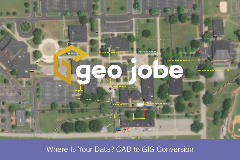
If you work in a GIS or Engineering field, you are likely incredibly familiar with either CAD or GIS, but behind the curve when it comes to the other. This makes sense and is completely understandable when your work focuses more on one program. CAD, or Computer Aided Drawing, is a program used by a […]
Tag: CAD
It’s about the data
Working in the UAV world isn’t always about the drone. In fact, the drone is only one piece of a single stage of an accurate high resolution mapping workflow. This blog will outline various stages of the GEO Jobe UAV process. It will then highlight one example of the final stages by focusing on extracting […]