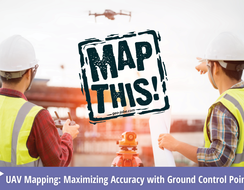
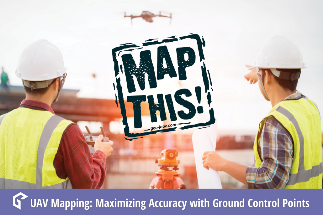
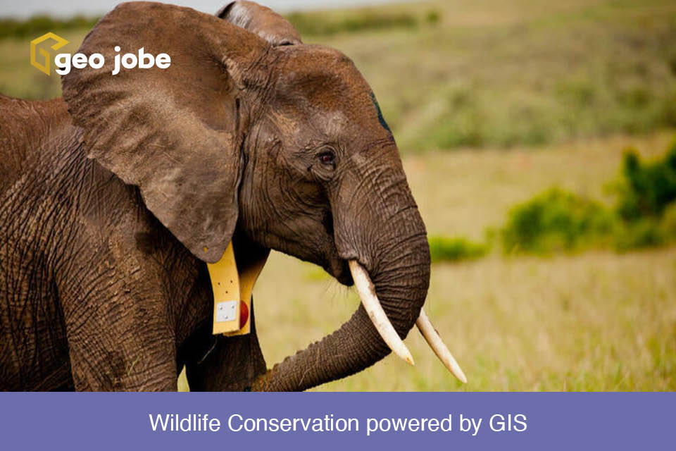
Protecting Nature for tomorrow Have you ever wanted to explore a far flung location, see animals in their natural habitat? When you think of the African savanna you think of the African lion, Rhinos, Cheetahs, and the African Elephant. Or perhaps diving in the turquoise blue waters of the Caribbean among sea turtles coral reefs […]
Tag: drones
UAV Vertical Asset Inspection: Techniques and Benefits
Vertical assets such as communications, tall buildings, or water towers are difficult and dangerous to inspect. For this reason, UAV technology is quickly becoming the preferred method of vertical asset inspection. Three primary reasons UAV inspections are becoming prominent are safety, time savings, and superior documentation; these are just some of the immediate benefits we […]
Multi-Rotor vs. Fixed Wing UAV Platforms: Considerations for Evaluating Capabilities and Limitations
Using the correct equipment is critical to the success of any project. UAV projects are no different, knowing how to select the best tool for each specific application is fundamental to efficient data collection. We use both multi-rotor and fixed wing UAV equipment, depending on project goals and constraints. Below are some considerations for selecting […]
Why “Drone” Is a Dirty Word: The Difference Between Drones and Professional UAV Equipment
Common terms and abbreviations: UAV = Unmanned Aerial Vehicle sUAS = small Unmanned Aircraft System (less than 55lbs) RTK = Real Time Kinematic, high accuracy gnss positioning using local controls for correction and validation. GNSS = Global Navigation Satellite System(GPS-United States, BeiDou-China, Galileo-Europe, GLONASS-Russia) Photogrammetry = science and technology of making measurements using photographs. This […]
GEO Jobe Welcomes Reed Davis as UAV Business Development
GEO Jobe is pleased to welcome Reed Davis as our new UAV Business Development lead. Previous to GEO Jobe, Reed was a GIS Analyst at the City of Biloxi in the Engineering Department. While at the City of Biloxi, Reed worked on processing LIDAR, developed databases and management for ArcGIS servers and SQL servers. In […]
State of the Drone
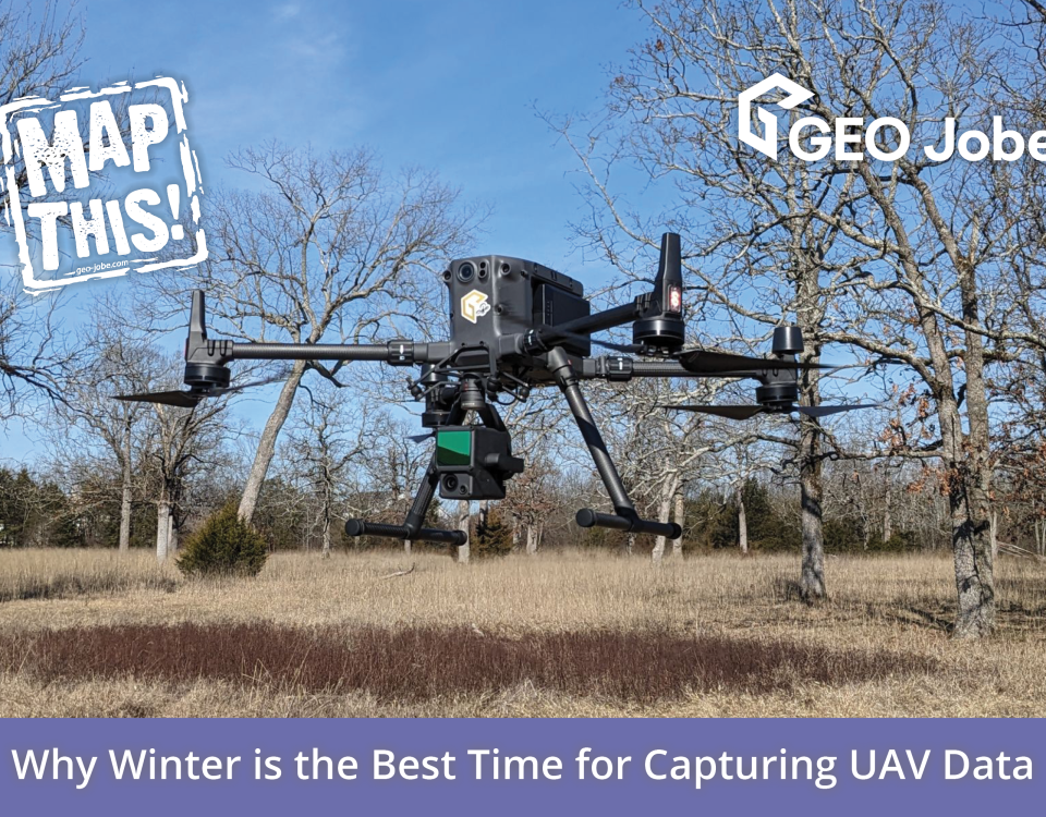
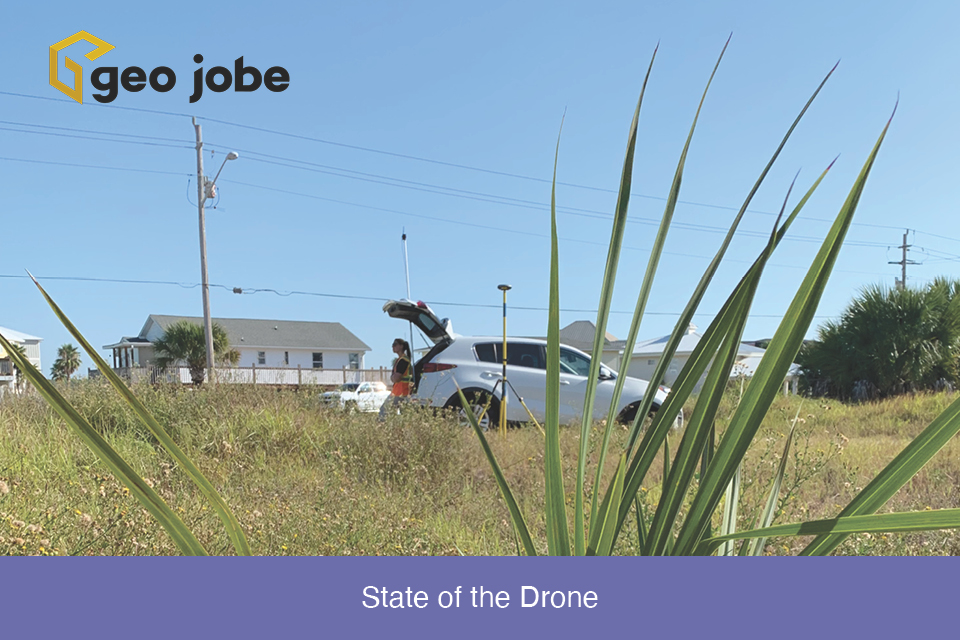
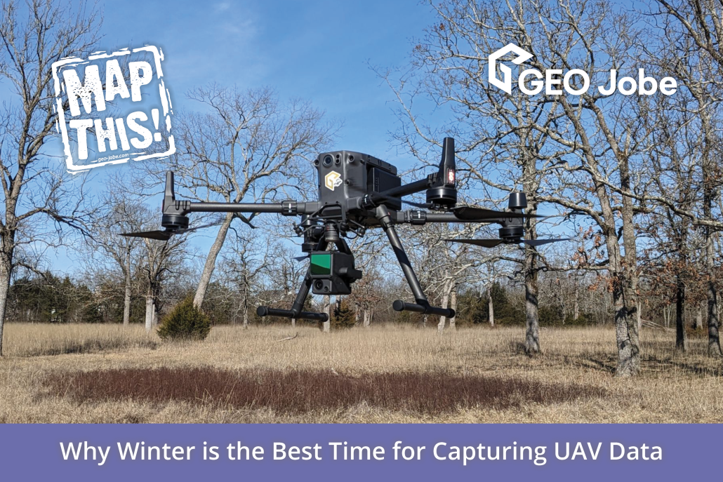
Winding down the year is a good time to reflect on the changes, applications, and direction of the small Unmanned Aerial Systems in the mapping industry. This has been another year of rapid and dramatic changes in the drone world. Waivers and authorizations are still big topics. Drone for delivery is creeping into the picture […]
It’s about the data
Working in the UAV world isn’t always about the drone. In fact, the drone is only one piece of a single stage of an accurate high resolution mapping workflow. This blog will outline various stages of the GEO Jobe UAV process. It will then highlight one example of the final stages by focusing on extracting […]
A Check List For Flying UAV
There are certain things you can count on with almost any Unmanned Aerial Vehicle (UAV) job. Something will go wrong is one of those. It is almost as if the adage “One is none, two is one”, was made for UAV jobs. One of the pillars of Project Management is to identify and mitigate risk. […]
Flying High: Reflections on GEO Jobe’s UAV Division with Jeff Lawrence
The beginning of the year is always a great time to reflect on the past and look toward the future. Here at GEO Jobe, we’ve noticed a steady growth in the demand for our UAV Services over the past several years, and there are plenty of signs indicating that growth will only continue. For more […]
Drones: That Sounds Fun!
“You get to play with drones all day?! That sounds fun! I want your job!” If you are in any subset of the drone industry, you have more than likely heard this at trade shows, conferences, Thanksgiving dinner, or while checking out at Trader Joe’s. (Occasionally the friendly chit-chat actually goes beyond “Oh, good choice! […]