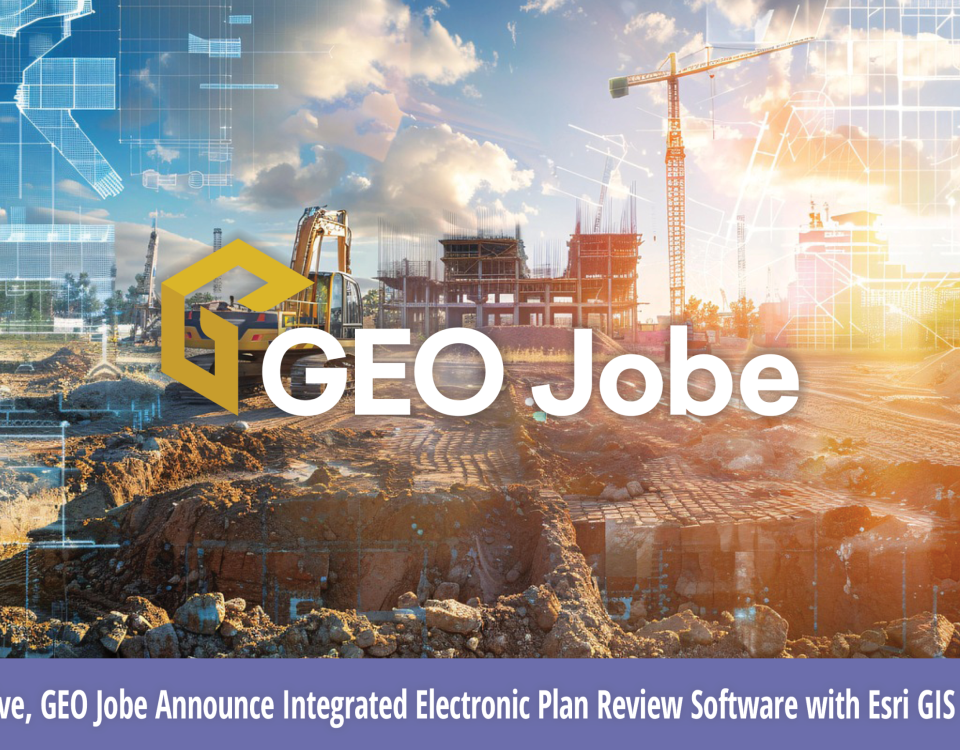
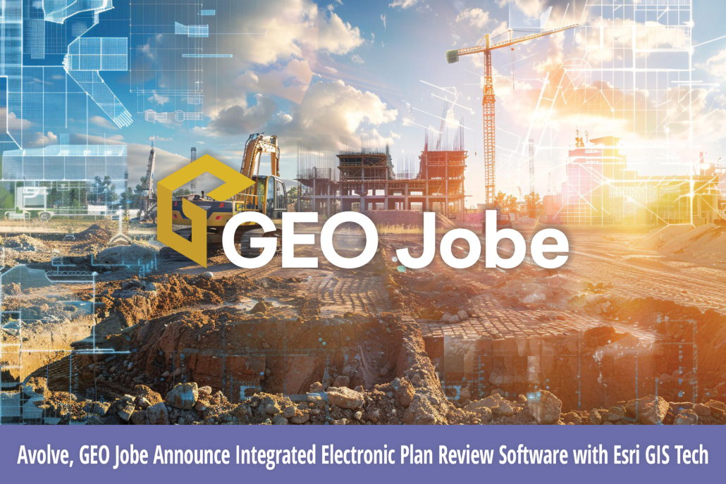
Partnering with Esri’s Platinum Partner GEO Jobe to Apply Powerful GIS Technology to Avolve’s Solutions Enables State and Local Government to Transform Construction Plan Review Processes […]
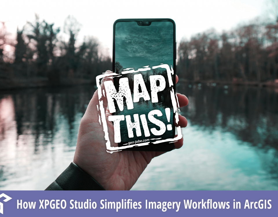
Didn’t make it to our recent webinar with AerialSphere? Don’t worry, you can now watch the on-demand session to see how XPGEO Studio is revolutionizing the […]
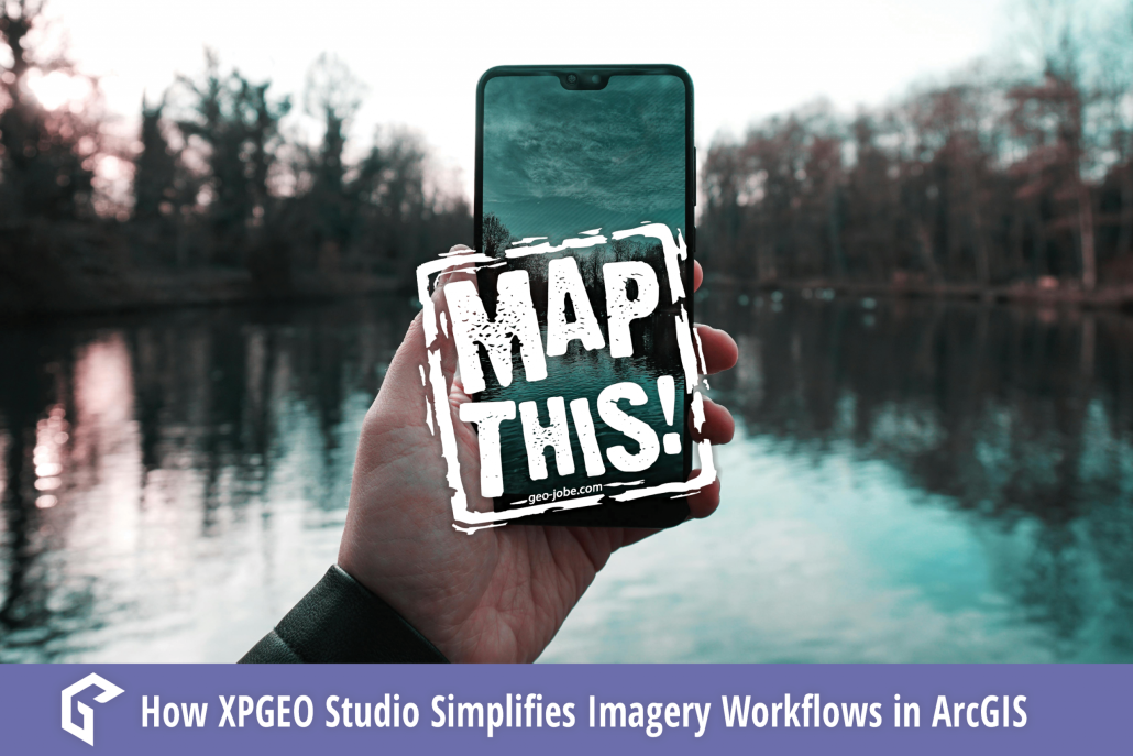
In a world where everyone from drone pilots to field technicians carries a camera in their pocket, imagery is more accessible—and more powerful—than ever. But for […]
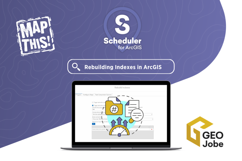
If you’re managing spatial data with either ArcGIS Online or ArcGIS Enterprise, you’re likely familiar with the importance of performance optimization. One often overlooked aspect of […]
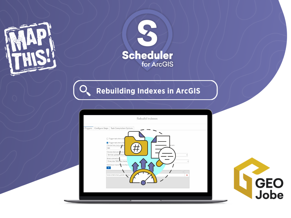
Automated processes in Geographic Information Systems (GIS) are commonplace for many repeatable workflows because of their consistency and time saving across multiple runs. Automation can be […]
Image courtesy Pixabay Find a seat and grab some popcorn, because we are going to talk about how GIS (Geographic Information Systems) has been utilized and […]
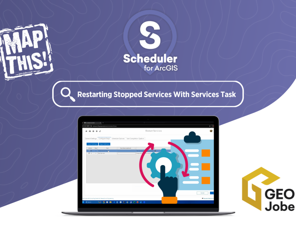
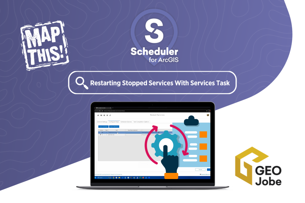
Managing an ArcGIS environment requires constant attention to ensure that services are running smoothly. But what happens when a critical service stops unexpectedly? Without proactive monitoring, […]
Pictured back row, from left: Danny Menikheim, GEO Jobe’s Chief Operating Officer; Nicholas Markwardt, Chief Experience Officer for AerialSphere; Joslyn Brough, Product Manager for AerialSphere; Eric […]
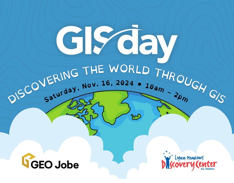
(Gulfport, MS) – GEO Jobe and Lynn Meadows Discovery Center are hosting a fun, interactive event celebrating GIS Day on Saturday, Nov. 16! Kids (and their […]
Is your geospatial data as secure as it could be? Join us for an informative webinar on how con terra’s security.manager can enhance access management for […]


