September 17, 2025
Did you know “MapThis!” is more than a blog for geo nerds? In honor of our 25 years in business, we sat down with some key […]
August 28, 2025
Photo Source: Riccardo (Pexels) ArcGIS Dashboards puts the power of location intelligence at your fingertips, but mastering its full potential takes more than just dragging and […]
August 6, 2025
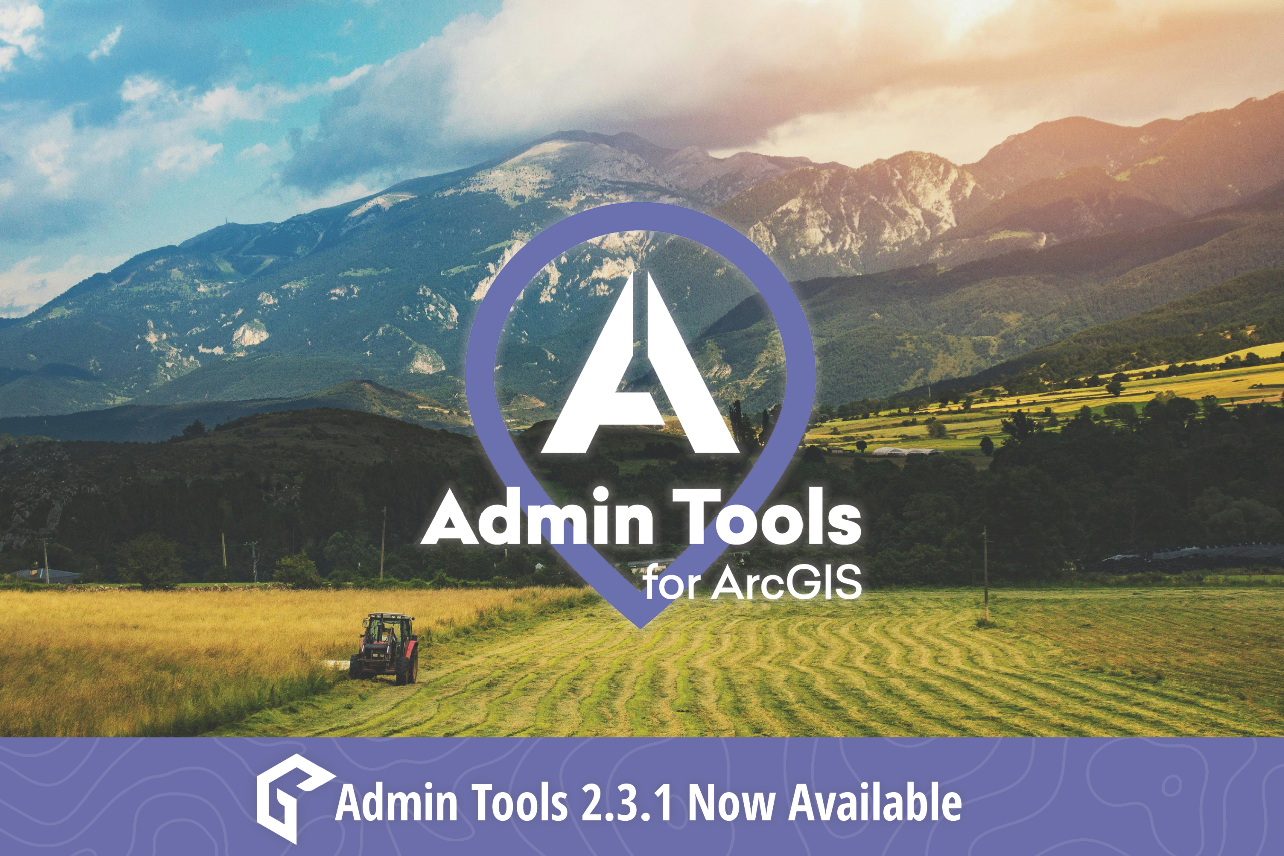
The latest release of Admin Tools, version 2.3.1, delivers a suite of powerful new tools, enhancements, and critical fixes designed to further streamline administrative tasks for […]
July 31, 2025
What is GIS? If you stumbled upon this article, you’re most likely already familiar with the term GIS. But for the sake of clarity and in […]
July 10, 2025
The Esri User Conference (Esri UC) returns to San Diego this July—and GEO Jobe is excited to once again be part of the world’s largest GIS […]
June 12, 2025
Where your data resides significantly impacts your workflow within ArcGIS Pro. If you’re reading this article then you’re likely experiencing some sort of lag, or latency, […]
May 15, 2025
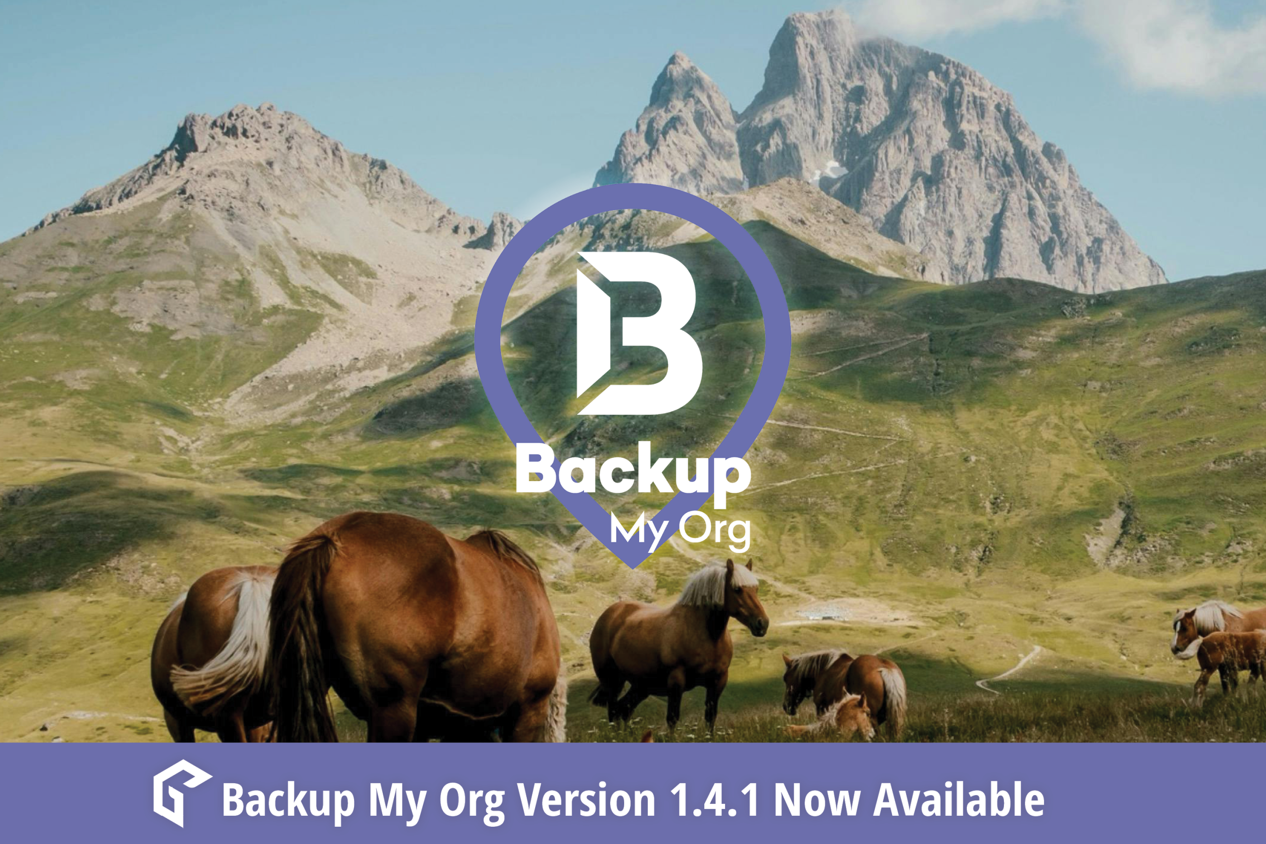
Backup My Org version 1.4.1 builds on its ArcGIS backup and restore capabilities with a suite of powerful new features! Backup My Org has expanded its […]
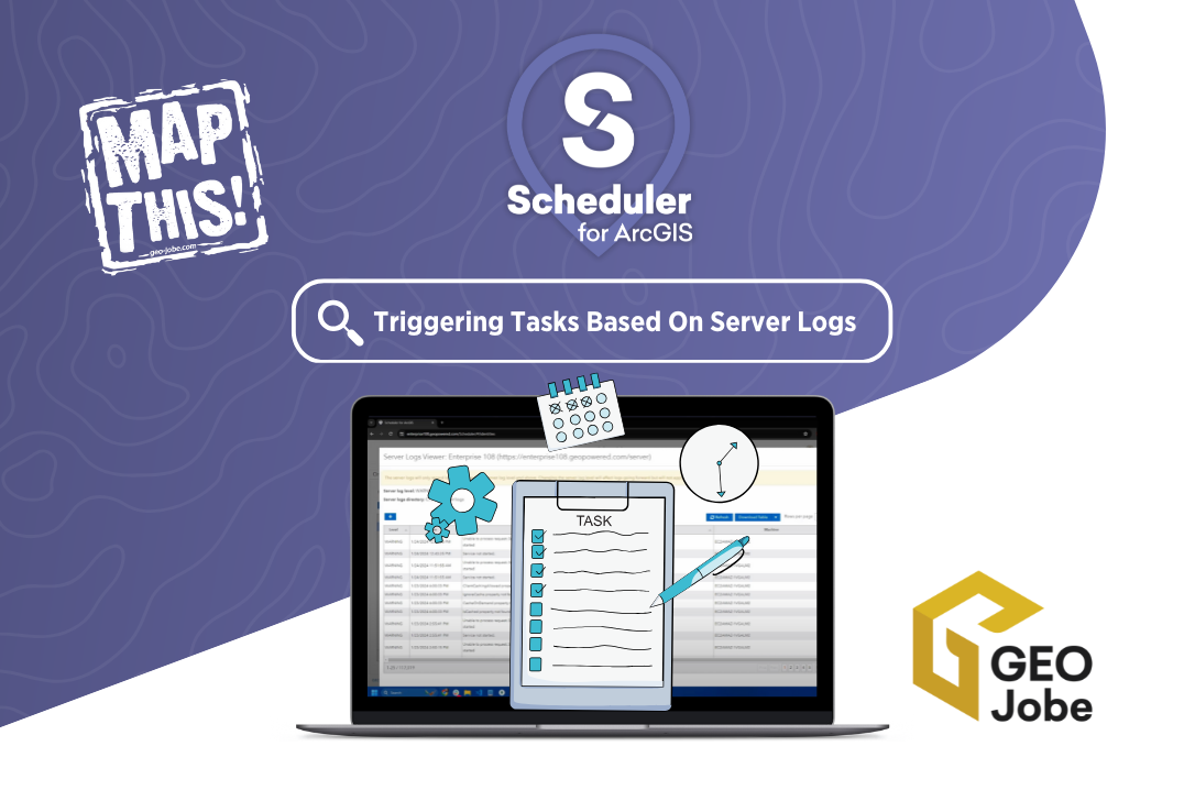
Are you looking for a way to get ahead of potential issues within your ArcGIS system? GEO Jobe’s Scheduler for ArcGIS offers a powerful combination with […]
May 12, 2025
Partnering with Esri’s Platinum Partner GEO Jobe to Apply Powerful GIS Technology to Avolve’s Solutions Enables State and Local Government to Transform Construction Plan Review Processes […]
May 1, 2025
Didn’t make it to our recent webinar with AerialSphere? Don’t worry, you can now watch the on-demand session to see how XPGEO Studio is revolutionizing the […]
April 16, 2025
In a world where everyone from drone pilots to field technicians carries a camera in their pocket, imagery is more accessible—and more powerful—than ever. But for […]
April 3, 2025
“Quality data is as essential to Machine Learning as practice and quality instruments are to an orchestra. Be the conductor.” In the ever-evolving world of machine […]
Your Name*
Email*
Phone Number
Company Name*
How can we help you?*
GEO Jobe GIS Consulting is committed to protecting and respecting your privacy, and we’ll only use your personal information to administer your account and to provide the products and services you requested from us. From time to time, we would like to contact you about our products and services, as well as other content that may be of interest to you. If you consent to us contacting you for this purpose, please tick below to say how you would like us to contact you:
I agree to receive other communications from GEO Jobe GIS Consulting
In order to provide you the content requested, we need to store and process your personal data. If you consent to us storing your personal data for this purpose, please tick the checkbox below.
I agree to allow GEO Jobe GIS Consulting to store and process my personal data. *
You can unsubscribe from these communications at any time. For more information on how to unsubscribe, our privacy practices, and how we are committed to protecting and respecting your privacy, please review our Privacy Policy.
Please leave this field empty.
Δ
You are interested in a perpetual license for which product(s)?* Admin ToolsBackup My OrgClean My OrgSymphony for ArcGISScheduler for ArcGISManage My AttachmentsArchitecture ViewerOther (please specify)
Other - please specify
Input any additional details:
This ticket is about which product(s)?* Admin ToolsBackup My OrgClean My OrgSymphony for ArcGISScheduler for ArcGISManage My AttachmentsArchitecture ViewerOther (please specify)
What type of support are you looking for?* Request EnhancementRequest HelpRequest Updated Build
Briefly describe your requested enhancement for our products*
What is your current version number?*
How significant is this enhancement to you?* Nice to HaveMeaningful AdditionSignificant NeedCritical Need
Briefly describe your issue*
Attach any relevant files:
Do you need to update any of your licensing information (expiration date, connectors, etc.)? YesNo
Please specify any additional emails that need to be included on the delivery notice:
Additional comments:
How can we help you?* UAV Flight Mission RequestGeneral UAV/Drone Help QuestionData Export, Analysis, Interpretation OnlyI Would Like a Price QuoteOther
Is this request time sensitive or urgent? YesNo
Additional Information
Number of connectors
Site License? I am interested in a Site License of Admin Tools
* Site License Requirements are for organizations that have 1,000 users or greater, a government serving a population of 250,000 or greater, have 10 or more environments, or has an annual company revenue of $100,000,000 or greater. A Site License can also be purchased or recommended for organizations that don't fit these specific criteria.
Any additional information
Site License? I am interested in a Site License of Clean My Org
Site License? I am interested in a Site License of Symphony for ArcGIS
Site License? I am interested in a Site License of Backup My Org