Coming back to the Dive Into Dev Tools series, we previously introduced what Chrome DevTools is and its importance in the development stage of web applications. […]
In a previous GEO Jobe blog article, we began the process of setting up a React application to develop custom ArcGIS Map widgets as React components. […]
In This Article… What is the Mississippi Mapping Competition? The Mississippi Mapping Competition is the state’s effort into Esri’s ArcGIS Online competition for U.S. high school […]
Leveraging Inline Variable Substitution Introduction ModelBuilder™ is a tool within ArcGIS® Pro that allows the user to combine different geoprocessing tools and steps to help automate […]
If you missed Part 1, you can read that here. Any modern browser you use to access the internet has something called “Developer Tools,” “The Developer […]
What Are GIS Services? GIS services can be a wide range of services such as UAV digital mapping, solution engineering, or spatial data collection/development. Services such […]
Take advantage of one of Esri’s best marketing tools, ArcGIS StoryMaps. Whether you are advertising your products, selling property, advocating for a cause, or even wanting […]
Any modern browser you use to access the internet has something called “Developer Tools,” “The Developer Console,” or something similar. Collectively, these are commonly referred to […]
Unlocking the Future of Geospatial Insights In a world driven by data, where location is the linchpin connecting disparate information streams, the synergy between Databricks, Apache […]
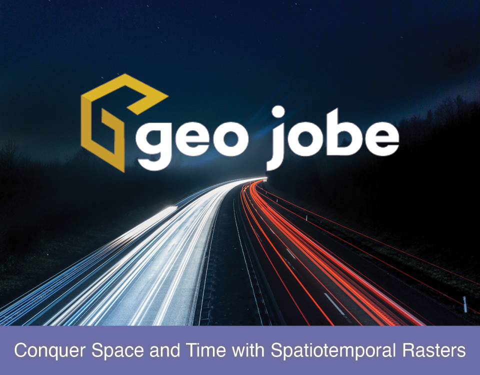
Leveraging Rasters for a Spatiotemporal Analysis When data is collected across different time frames spatially and then brought together in one collection to create a spatiotemporal […]


