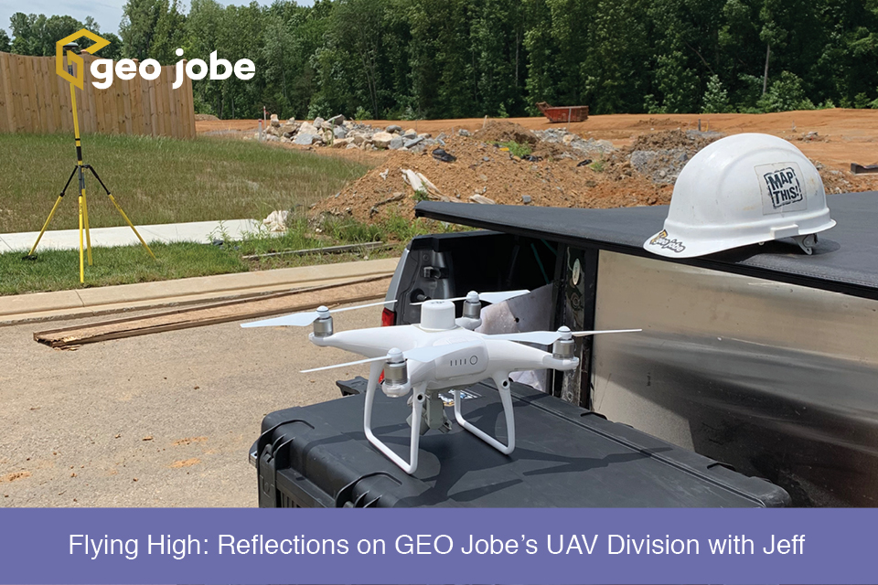
What Are GIS Services? GIS services can be a wide range of services such as UAV digital mapping, solution engineering, or spatial data collection/development. Services such […]
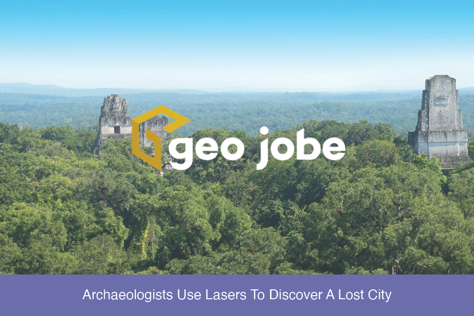
Imagine for a moment walking through a dense and lush jungle landscape. You come across a deteriorating shell of a building long reclaimed by nature. In your mind, […]
A question came up recently in a conversation about the different products and stages of processing and presenting data captured by UAVs. I’ll use a recent […]

