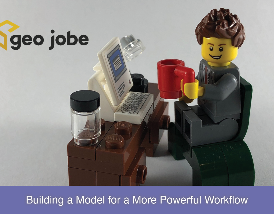
Leveraging Inline Variable Substitution Introduction ModelBuilder™ is a tool within ArcGIS® Pro that allows the user to combine different geoprocessing tools and steps to help automate […]
If you missed Part 1, you can read that here. Any modern browser you use to access the internet has something called “Developer Tools,” “The Developer […]
What Are GIS Services? GIS services can be a wide range of services such as UAV digital mapping, solution engineering, or spatial data collection/development. Services such […]
Take advantage of one of Esri’s best marketing tools, ArcGIS StoryMaps. Whether you are advertising your products, selling property, advocating for a cause, or even wanting […]
Any modern browser you use to access the internet has something called “Developer Tools,” “The Developer Console,” or something similar. Collectively, these are commonly referred to […]
Unlocking the Future of Geospatial Insights In a world driven by data, where location is the linchpin connecting disparate information streams, the synergy between Databricks, Apache […]
Leveraging Rasters for a Spatiotemporal Analysis When data is collected across different time frames spatially and then brought together in one collection to create a spatiotemporal […]
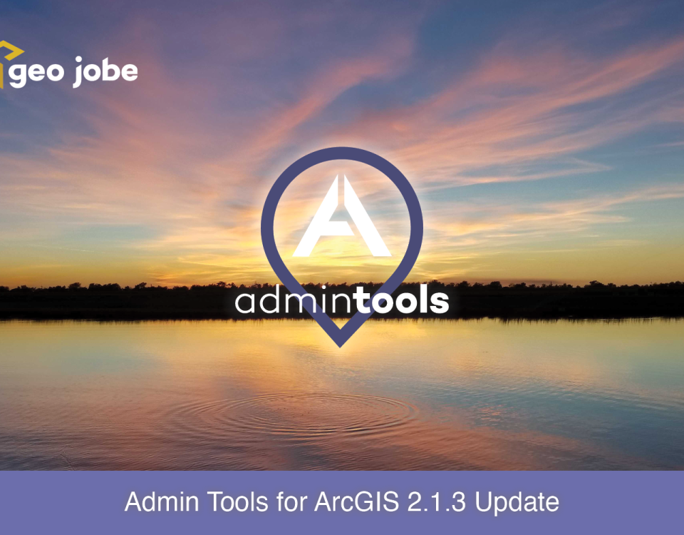
Earlier this month, we released an update to Admin Tools for ArcGIS. In the last six months, we’ve been busy building new tools, polishing existing ones, […]
Being an ArcGIS administrator requires managing a vast quantity of information, as well as potentially very large numbers of items, users and groups. Your ArcGIS organization […]
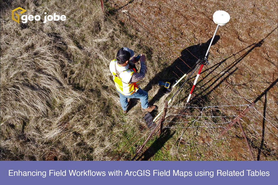
ArcGIS Field Maps is a powerful application within the Esri ecosystem that helps streamline workflows for data capture and asset monitoring out in the field. Multiple […]
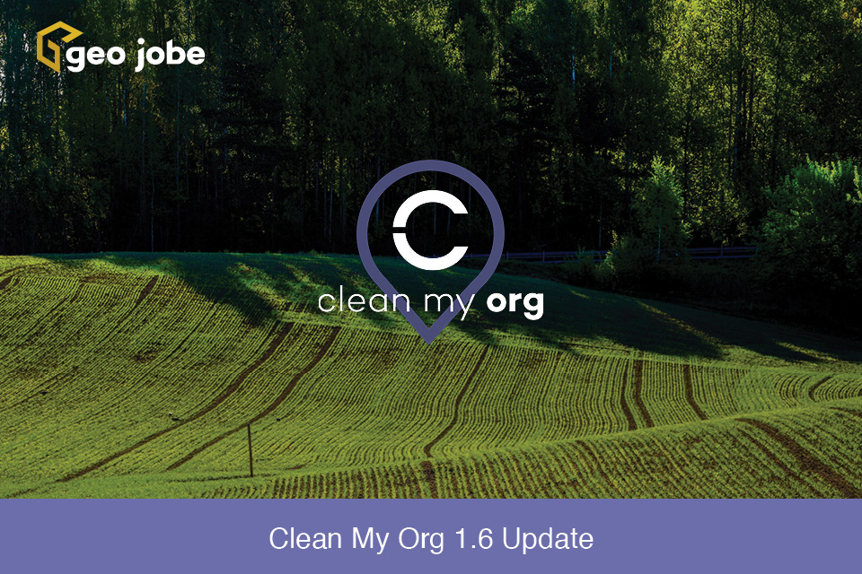
Clean My Org version 1.6 is now available! Clean My Org 1.6 brings significant enhancements and fixes, including an improved scanning engine. The scanning engine has […]


