Didn’t make it to our recent webinar with AerialSphere? Don’t worry, you can now watch the on-demand session to see how XPGEO Studio is revolutionizing the […]
In a world where everyone from drone pilots to field technicians carries a camera in their pocket, imagery is more accessible—and more powerful—than ever. But for […]
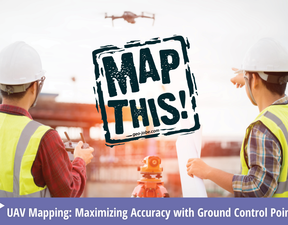
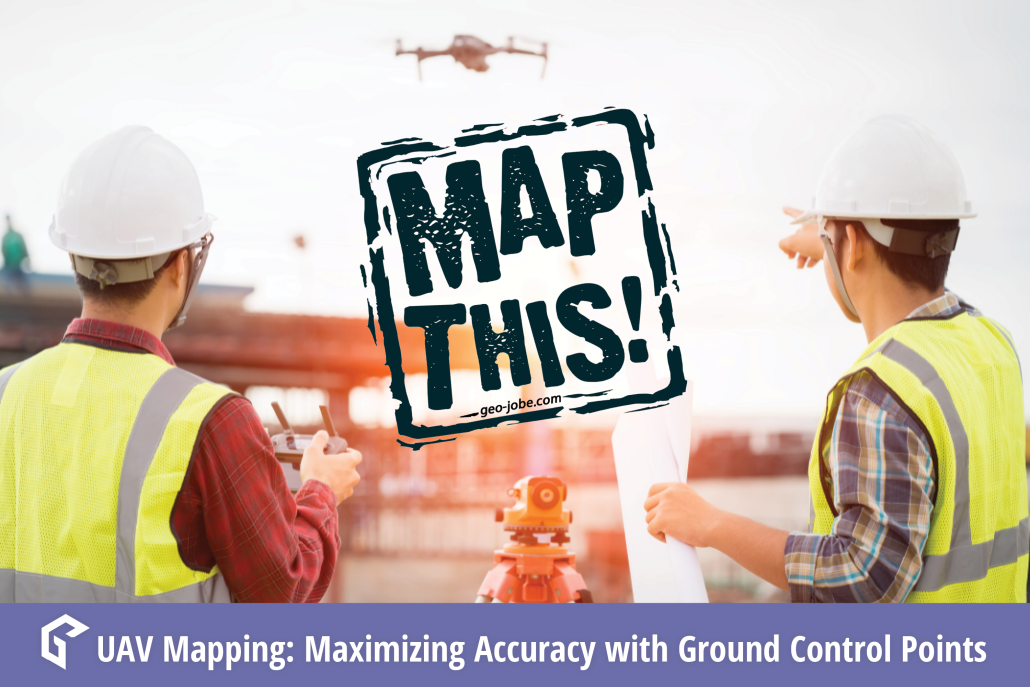
In the world of geospatial mapping, precision is everything. Enter Ground Control Points (GCPs)—the unsung heroes that ensure our digital maps and images align perfectly with […]
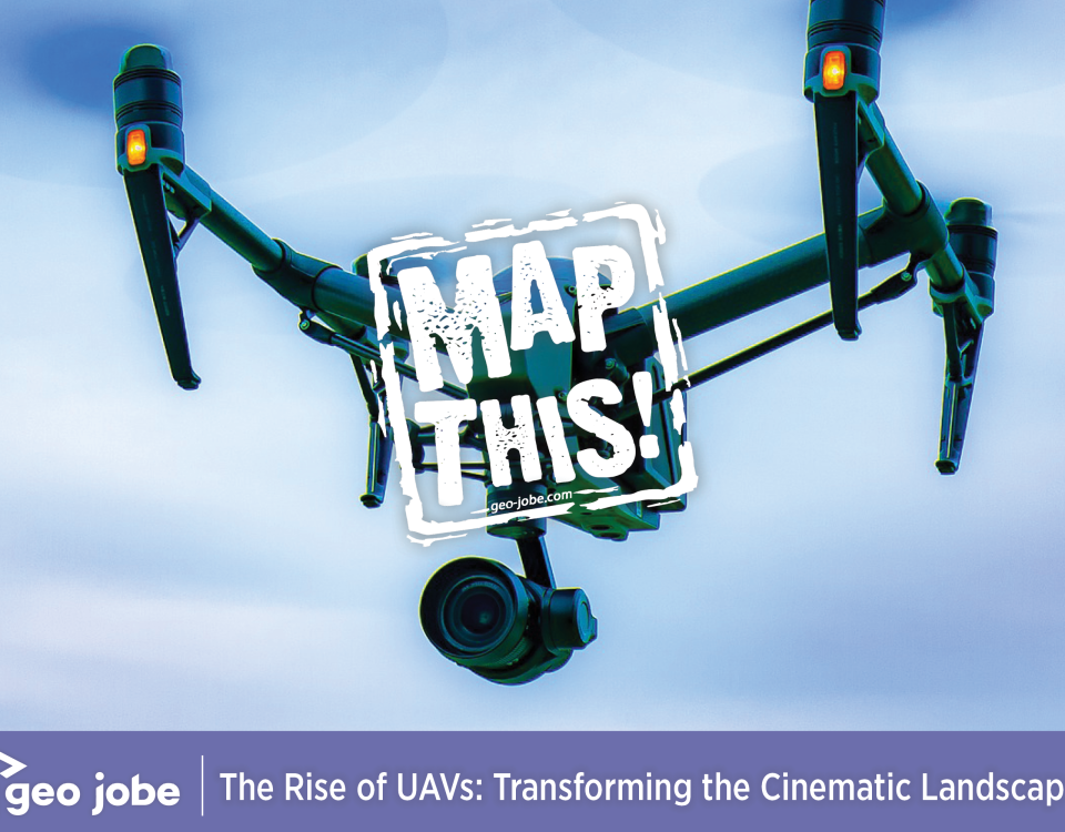
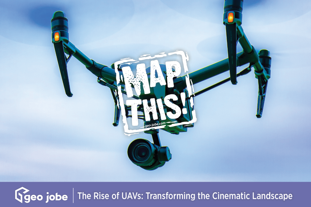
Image by Richard Bolan from Pixabay In recent years, Unmanned Aerial Vehicles (UAVs), commonly known as drones, have revolutionized the world of filmmaking. UAVs capture breathtaking […]
Common terms and abbreviations: UAV = Unmanned Aerial Vehicle sUAS = small Unmanned Aircraft System (less than 55lbs) RTK = Real Time Kinematic, high accuracy gnss […]
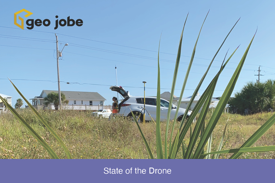
Winding down the year is a good time to reflect on the changes, applications, and direction of the small Unmanned Aerial Systems in the mapping industry. […]
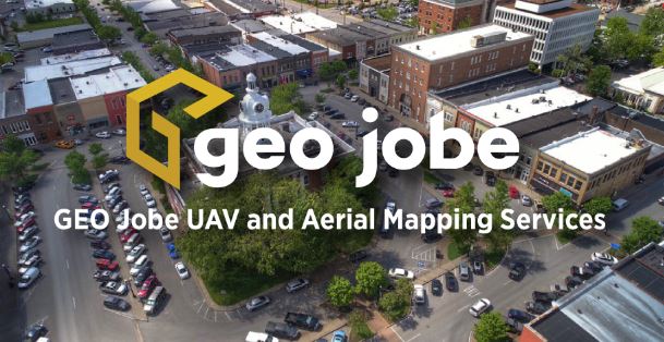
GEO Jobe’s UAV Services Group launched about 2 years ago, expanding our professional services offerings in Unmanned Aerial Vehicle (UAV) flight planning, data analysis, and aerial […]
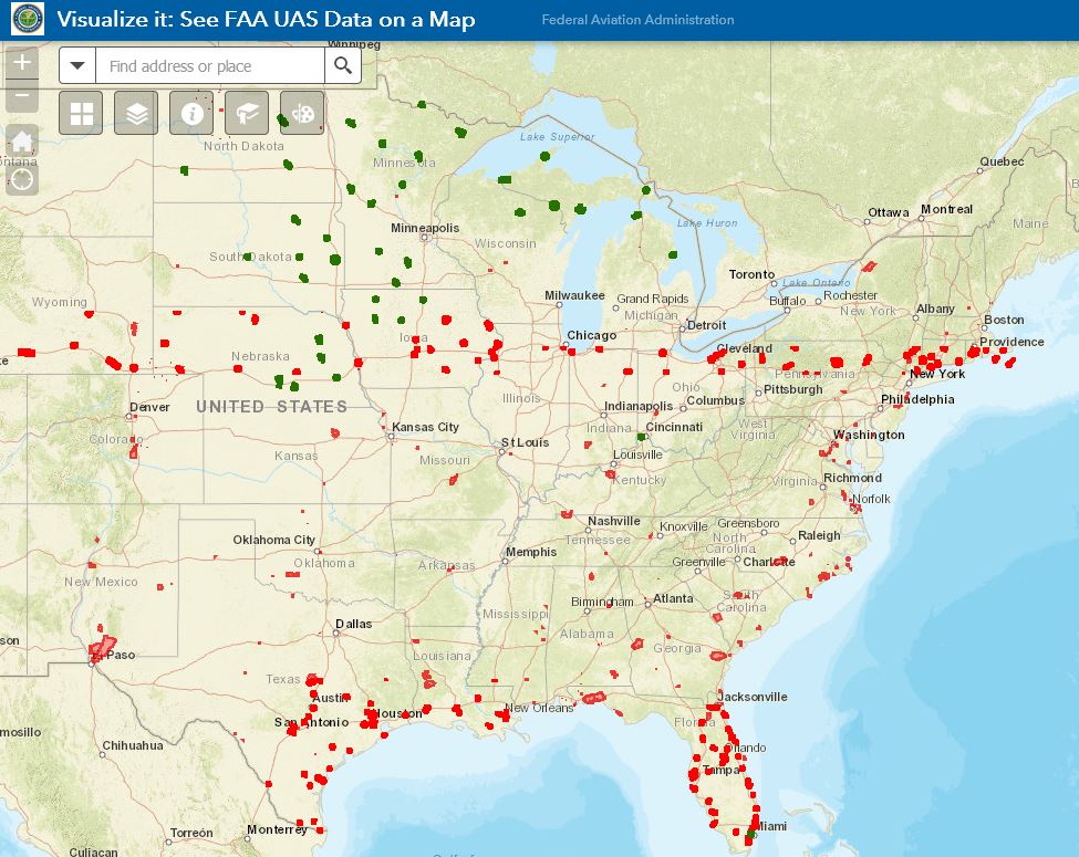
GEO Jobe UAV has come across several instances of confusion around and about FAA Part 107 UAV regulations, restrictions and requirements. This is not a legal […]
GEO Jobe has been using UAV technology over the last several years to collect, analyze, and disseminate geospatial data for clients in diverse industries from large […]
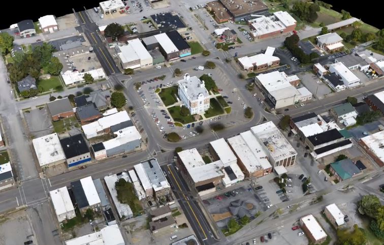
Our latest news/PR shares details of our UAV and Aerial Mapping Services group being recognized by industry leader, Pix4D, for “Smart City” mapping and the creation […]


