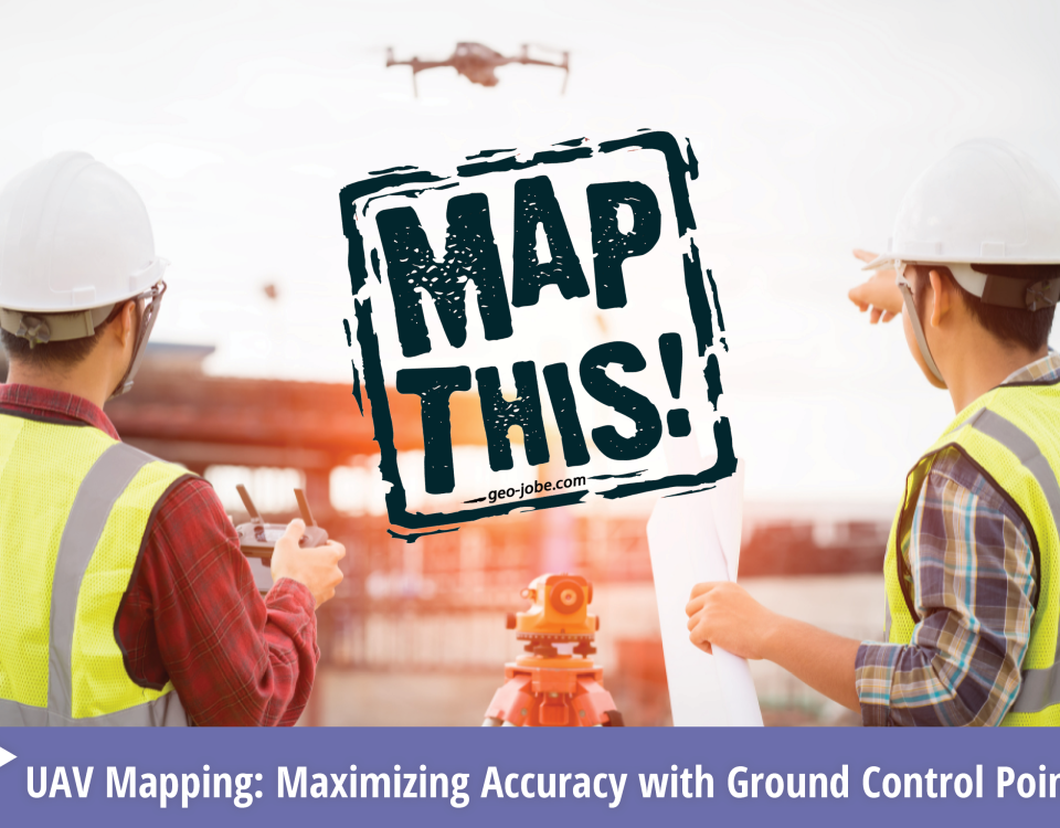
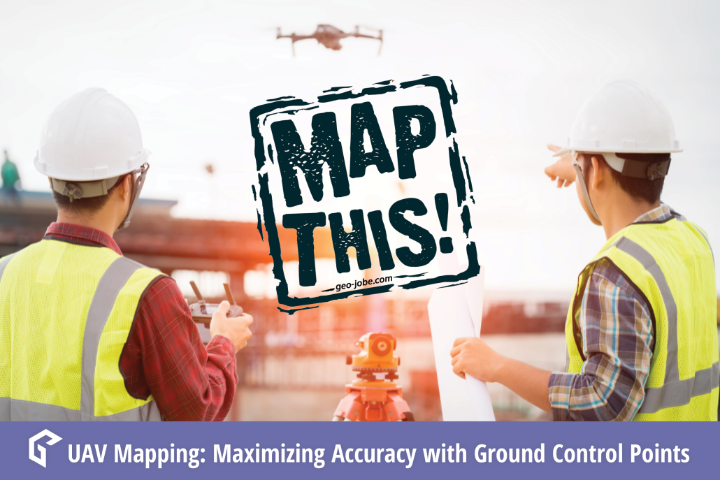
In the world of geospatial mapping, precision is everything. Enter Ground Control Points (GCPs)—the unsung heroes that ensure our digital maps and images align perfectly with […]
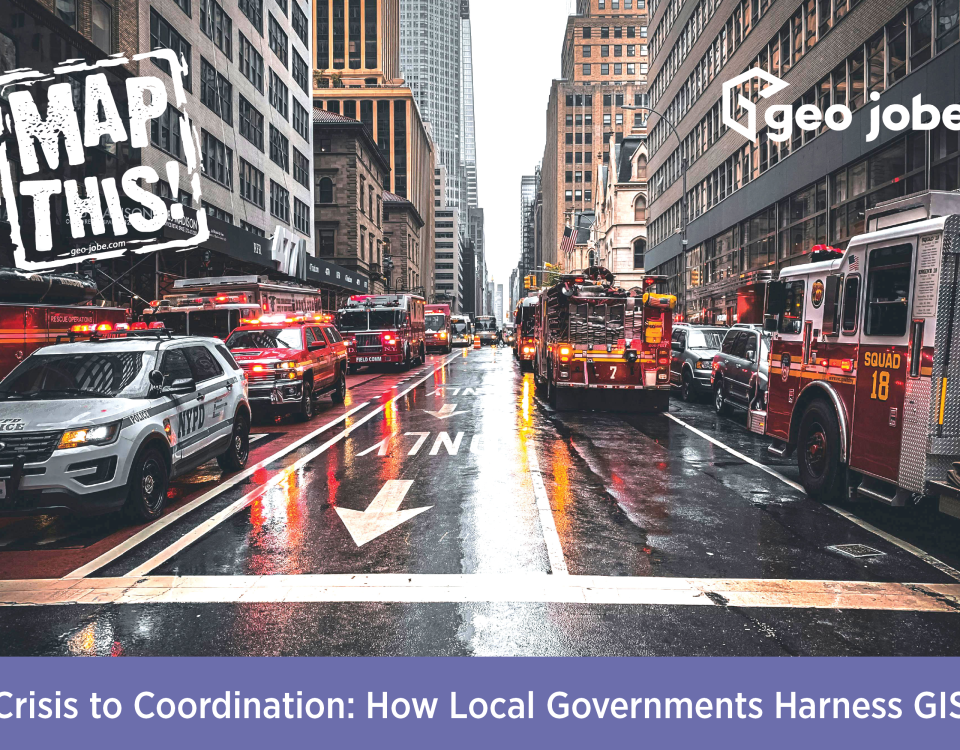
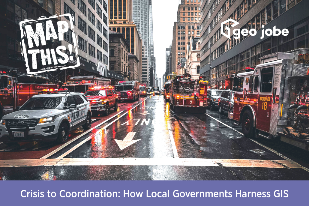
Image Source: Erik Mclean | Pexels Have you ever wondered how local governments can streamline so many different events or emergency responses? It’s because they utilize […]
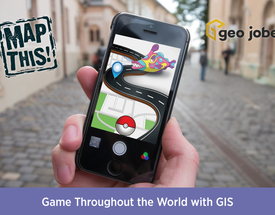
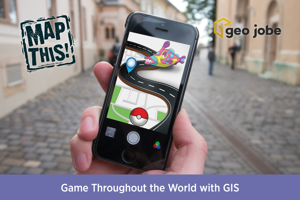
Photo by Element5 Digital from Pexels I am a huge lover of video games, and especially their maps and environments. Growing up on a wide variety of […]
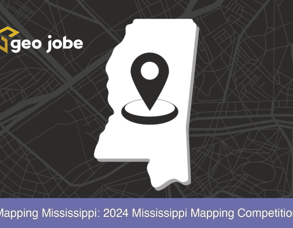
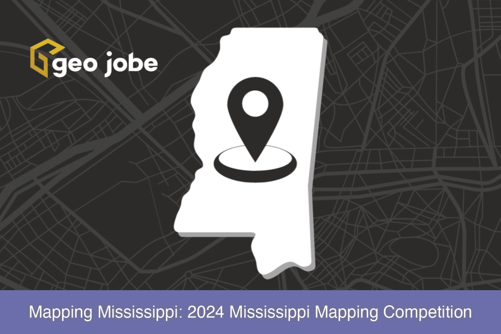
In This Article… What is the Mississippi Mapping Competition? The Mississippi Mapping Competition is the state’s effort into Esri’s ArcGIS Online competition for U.S. high school […]
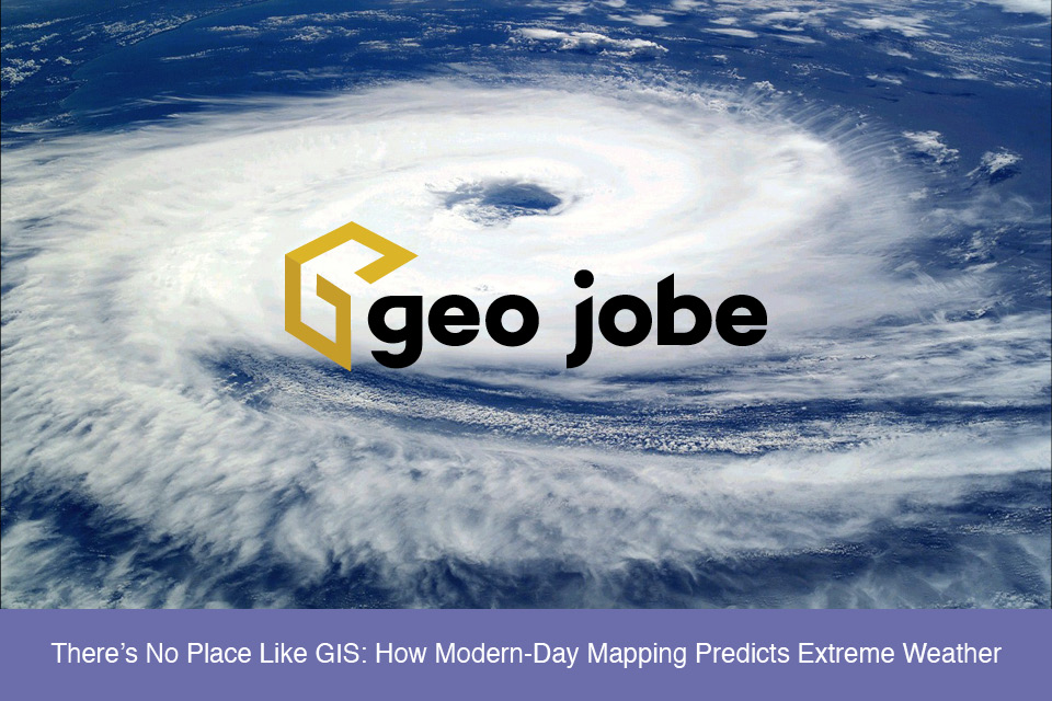
Extreme weather events seem to be in the news more and more often today. Everything from tornados, heat waves, hurricanes, and winter storms impacts people in […]
In a world dominated by feature-rich integrated development environments (IDEs), Vim stands as a contrasting alternative, offering a powerful and lightweight text editing experience. While IDEs […]
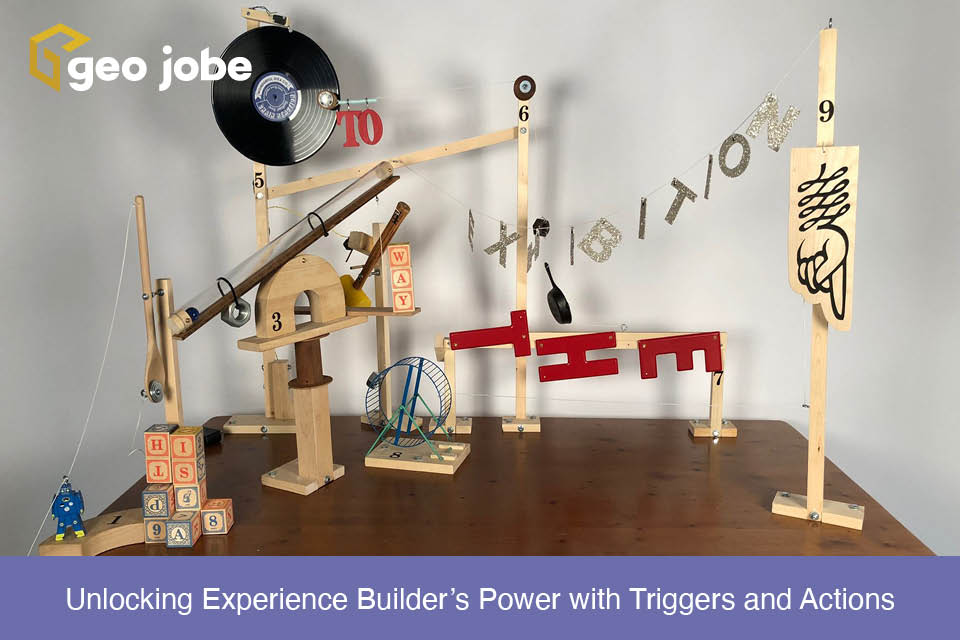
ArcGIS Experience Builder is a powerful tool that enables us to build interactive and dynamic web applications with ease. In this post, we will discuss two […]
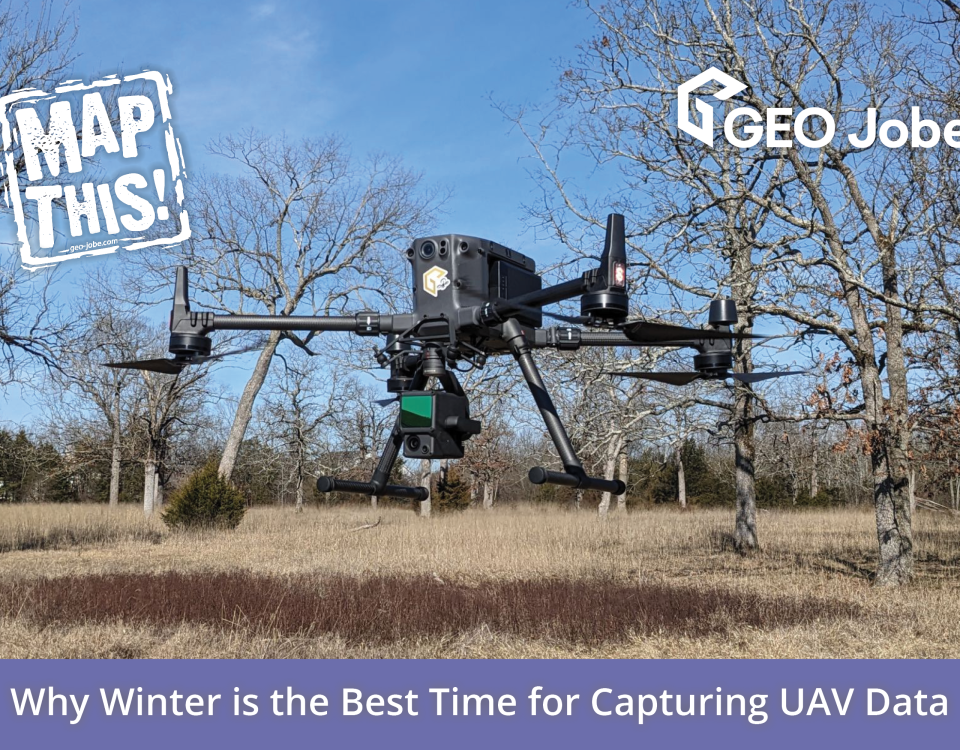
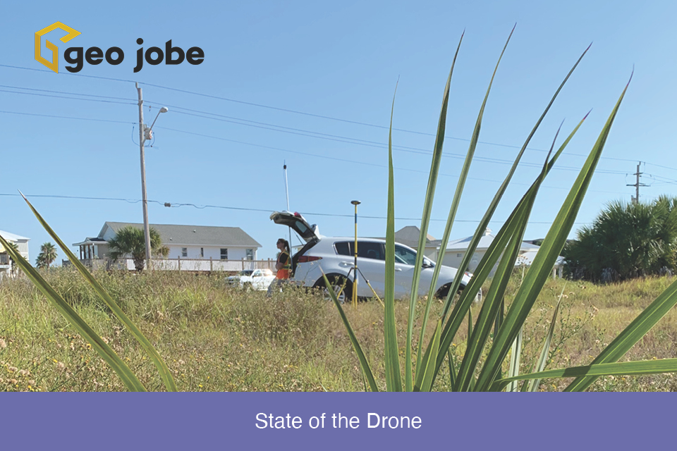
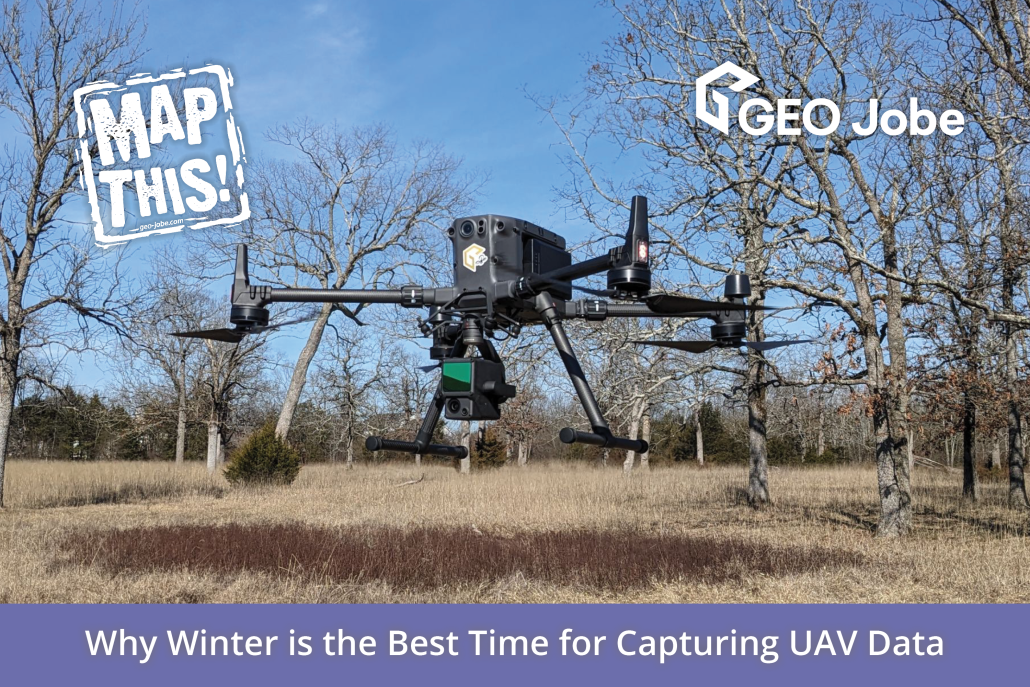
Winding down the year is a good time to reflect on the changes, applications, and direction of the small Unmanned Aerial Systems in the mapping industry. […]
Developing in a new environment with a new language can be intimidating. Every environment has its own quirks and nuances that might dissuade a developer from […]


