In a previous GEO Jobe blog article, we began the process of setting up a React application to develop custom ArcGIS Map widgets as React components. […]
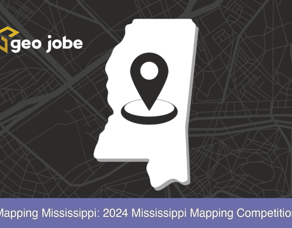
In This Article… What is the Mississippi Mapping Competition? The Mississippi Mapping Competition is the state’s effort into Esri’s ArcGIS Online competition for U.S. high school […]
What Are GIS Services? GIS services can be a wide range of services such as UAV digital mapping, solution engineering, or spatial data collection/development. Services such […]
Tree Canopy Classification – Vanderbilt University Campus Nashville Quantifying tree canopy cover across expansive areas has historically been a time-consuming endeavor, often reliant on labor-intensive field […]
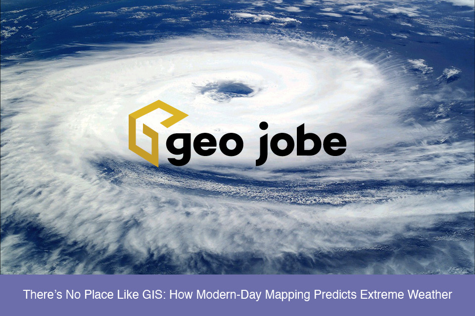
Extreme weather events seem to be in the news more and more often today. Everything from tornados, heat waves, hurricanes, and winter storms impacts people in […]
Being an ArcGIS administrator requires managing a vast quantity of information, as well as potentially very large numbers of items, users and groups. Your ArcGIS organization […]
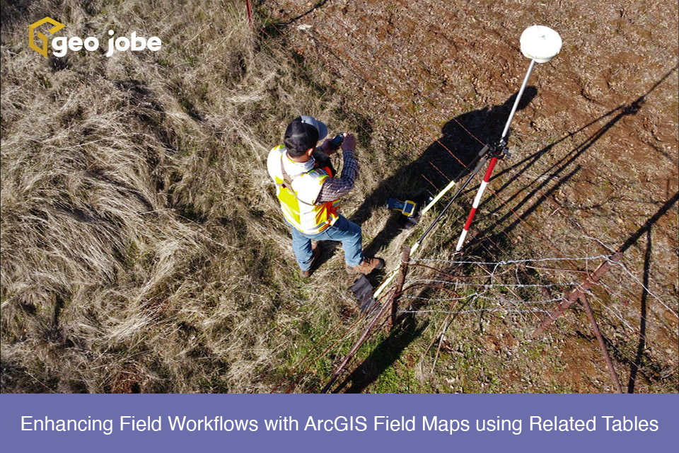
ArcGIS Field Maps is a powerful application within the Esri ecosystem that helps streamline workflows for data capture and asset monitoring out in the field. Multiple […]
The City of Winter Park is a suburban city in Orange County, Florida and is part of the Orlando-Kissimmee Metropolitan Statistical Area. Winter Park is the […]
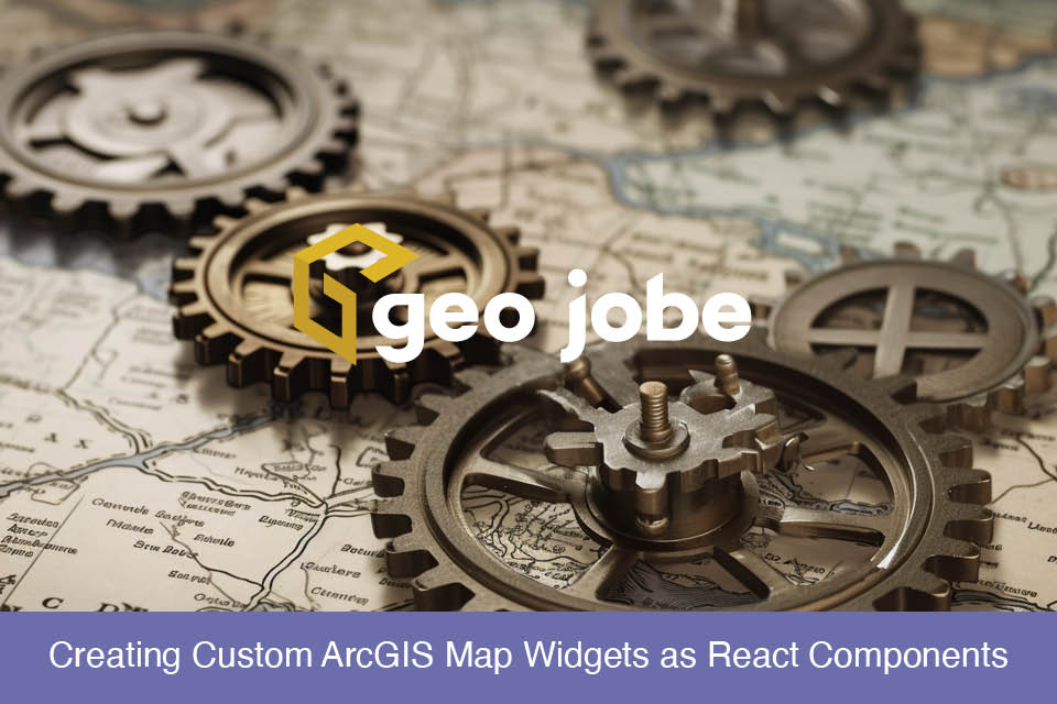
Map Widgets The ArcGIS Maps SDK provides many useful widgets to extend an ArcGIS map for the user. However, sometimes the requirements of a GIS application […]
In a world dominated by feature-rich integrated development environments (IDEs), Vim stands as a contrasting alternative, offering a powerful and lightweight text editing experience. While IDEs […]


