GEO Jobe UAV and Aerial Mapping Service, based in Nashville, Tennessee Thank you for checking out GEO Jobe’s UAV and aerial mapping services. We’re glad to […]
Welcome to GEO Jobe UAV and Aerial Mapping Service, based in Nashville, Tennessee Thank you for checking out GEO Jobe’s UAV and aerial mapping services. We’re […]
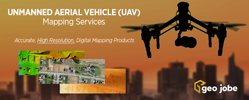
Welcome to GEO Jobe UAV and Aerial Mapping Service, based in Nashville, Tennessee Thank you for checking out GEO Jobe’s UAV and aerial mapping services. We’re […]
Welcome to GEO Jobe UAV and Aerial Mapping Service, based in Nashville, Tennessee Thank you for checking out GEO Jobe’s UAV and aerial mapping services. We’re […]