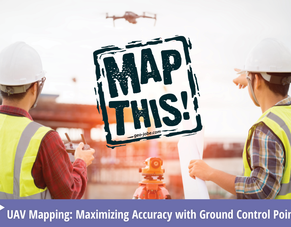
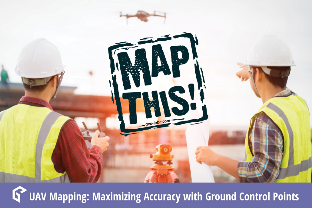
In the world of geospatial mapping, precision is everything. Enter Ground Control Points (GCPs)—the unsung heroes that ensure our digital maps and images align perfectly with […]
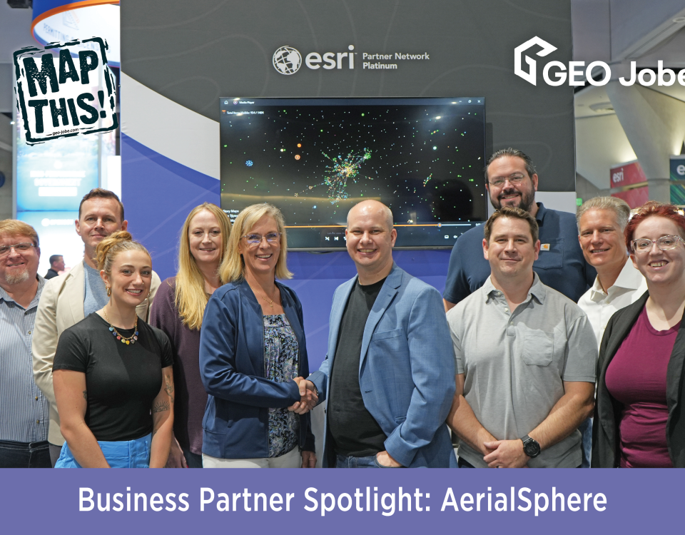
Pictured back row, from left: Danny Menikheim, GEO Jobe’s Chief Operating Officer; Nicholas Markwardt, Chief Experience Officer for AerialSphere; Joslyn Brough, Product Manager for AerialSphere; Eric […]
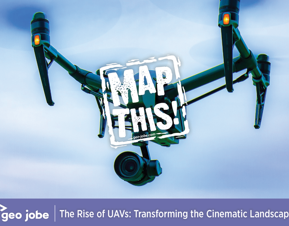
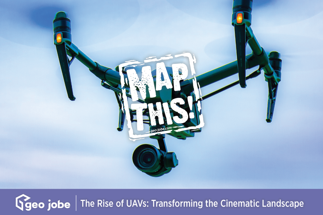
Image by Richard Bolan from Pixabay In recent years, Unmanned Aerial Vehicles (UAVs), commonly known as drones, have revolutionized the world of filmmaking. UAVs capture breathtaking […]
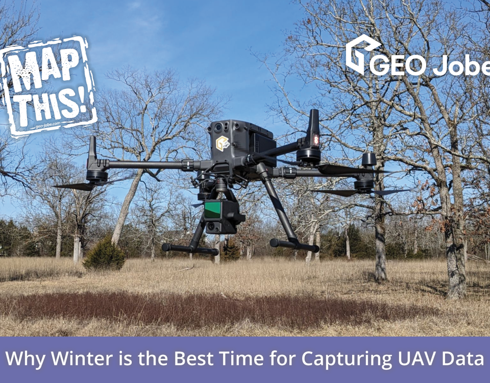
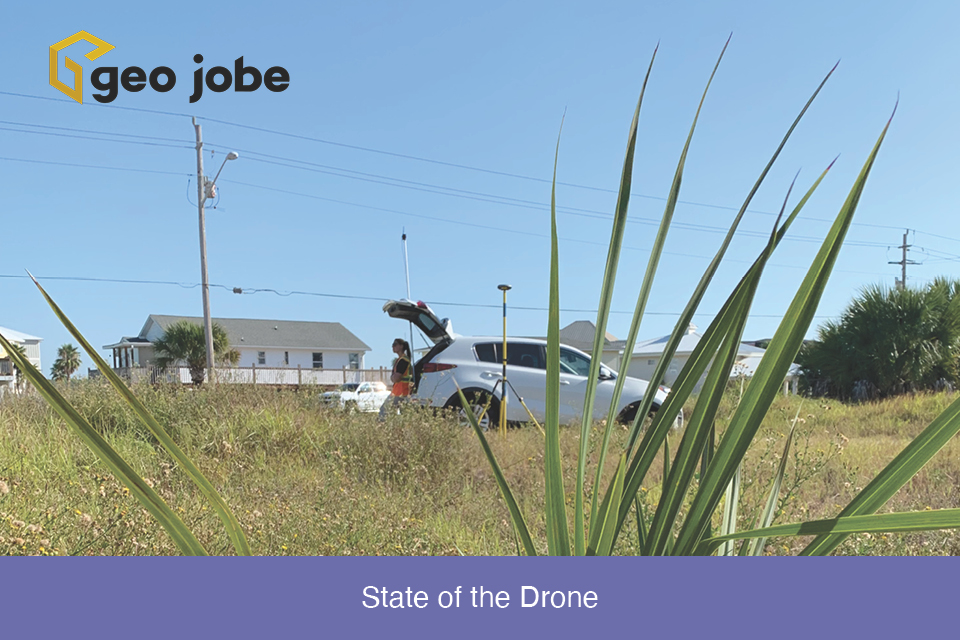
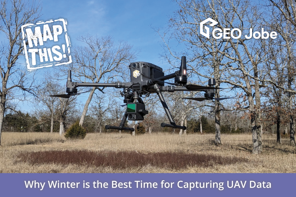
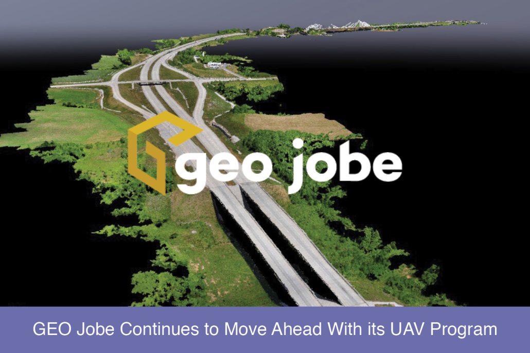
Winding down the year is a good time to reflect on the changes, applications, and direction of the small Unmanned Aerial Systems in the mapping industry. […]
It is not uncommon for organizations to supplement their GIS data with aerial imagery captured from a manned aircraft or drone. This perspective may come as […]
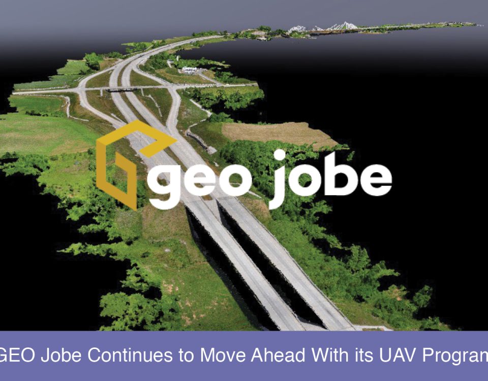
GEO Jobe has been using UAV technology over the last several years to collect, analyze, and disseminate geospatial data for clients in diverse industries from large […]
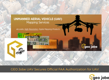
GEO Jobe UAV Mapping services is conducting UAV/UAS operations at levels few other geospatial technology companies are having success at achieving. GEO Jobe UAV Mapping Services […]
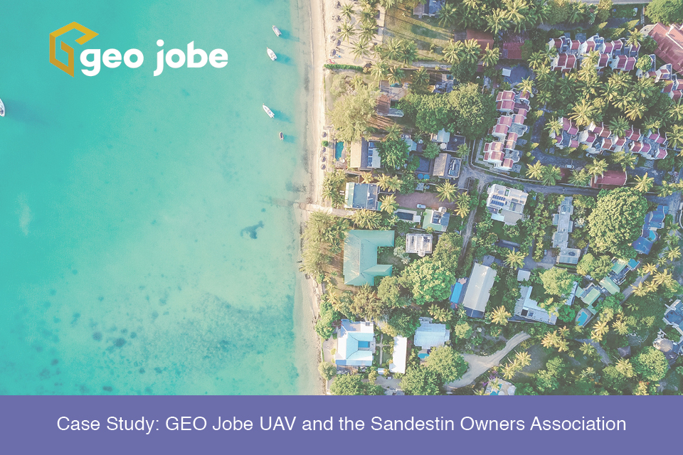
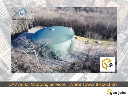
During the winter 2016/2017, Geo Jobe GIS Consulting UAV aerial mapping services were selected to provide asset inventory aerial inspection and mapping of the HB&TS – […]
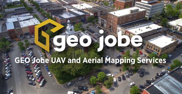
Welcome to GEO Jobe UAV and Aerial Mapping Service, based in Nashville, Tennessee Thank you for checking out GEO Jobe’s UAV and aerial mapping services. We’re […]

