As part of our tool series, this article will discuss a fundamental tool you may have never heard of, called the Minimum Bounding Geometry. I recently helped a client with a simple request. They wanted to have a polygon drawn around groups of points by an attribute value but didn’t want to construct the polygons […]
Tag: ArcGIS Pro
Using AWS Redshift with ArcGIS Pro
In November of 2021, Esri announced support for creating database connections to a variety of cloud data warehouses including Amazon Redshift, Google BigQuery, and Snowflake. These cloud data warehouses are designed to store large volumes of data and provide users with a highly scalable, performant data storage option that can be used in addition to […]
2022 Esri User Conference – What Not to Miss!
The Esri User Conference (UC) is an annual event, and this year it will be held July 11th-15th at the San Diego Convention Center. The conference will bring together members of the Esri User Community from across the globe. It is a great opportunity to stay up to date on new technology, learn what’s coming […]
Get to Know Your Toolbox – Map Series in ArcGIS Pro
The Map Series, in my opinion, is one of the most underrated tools in ArcGIS Pro. It is a fantastic way to customize reports that summarize data within a polygon layer. The ability to use queries and dynamic text that provide answers to the questions being asked for multiple areas of interest is a breeze. […]
2D, 3D, 4D: Spatiotemporal Visualization in ArcGIS Pro
Finding the correct balance of logic and appeal with data is often a struggle. Data can be bland, confusing, full of acronyms and numbers unknown to users. Finding a way to make this accurately representational with the WOW factor can be a challenge. The more complex the data becomes, the more difficult it can be […]
Get Your Ducks in a Row with Group Layers
Looking for a way to organize your map's table of contents better? Group layers may be the answer you've been looking for!
GEO Jobe is Now Providing the Ultimate Collection of ArcGIS Administration Solutions
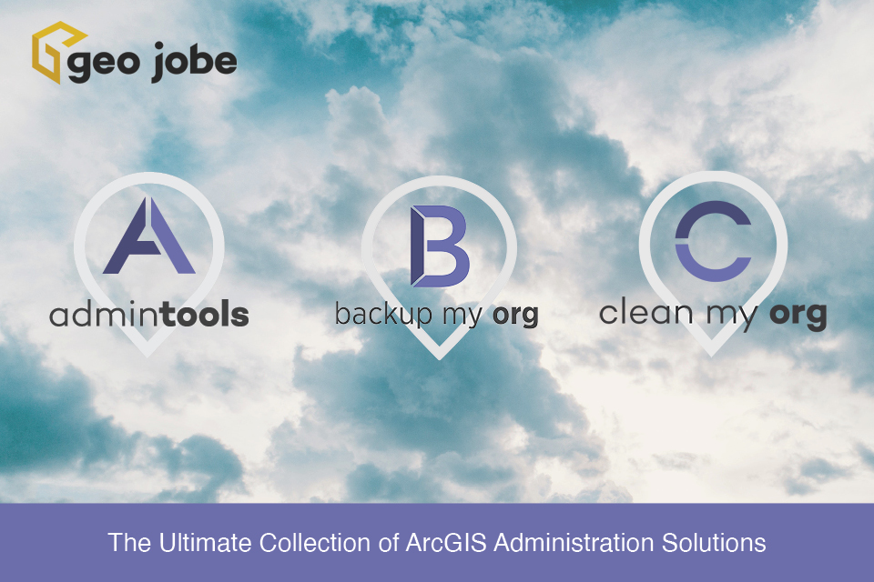
Since 2017, GEO Jobe GIS Consulting has served over 7,000 organizations world-wide with our products and services. Over the years, we have taken feedback and requests regarding our users’ needs and challenges, and provided solutions to make ArcGIS Administration much easier. This year, we provide the following three products that we are collectively referring to […]
Esri Gold Business Partner, GEO Jobe, Announces Backup My Org
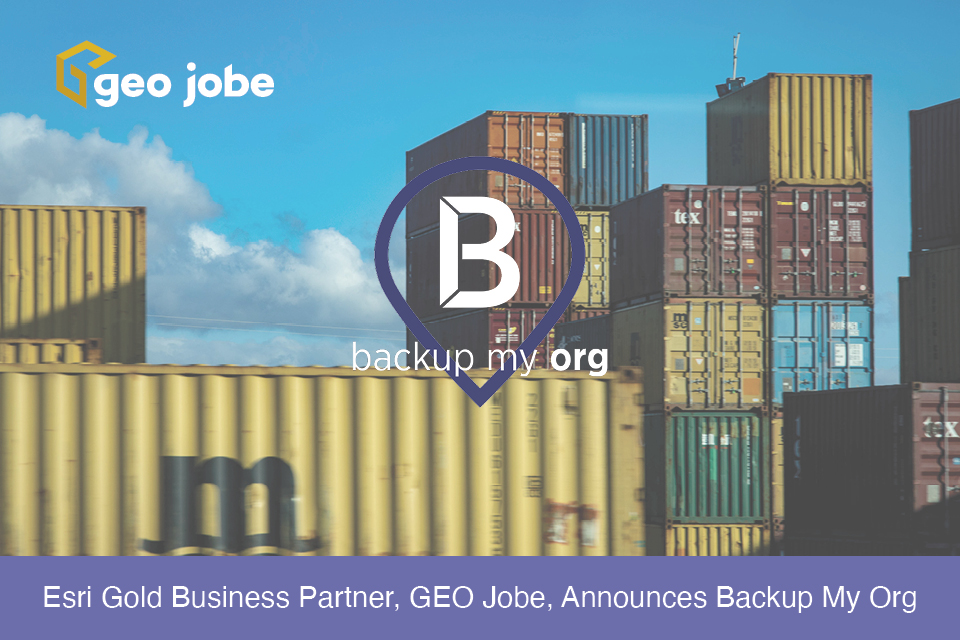
With Backup My Org, ArcGIS Administrators can backup AND RESTORE an organization, or individual items, users, and groups to and from their local hard drive, providing even greater management and peace of mind of their ArcGIS Enterprise or ArcGIS Online Organization. Backup My Org is a brand new application that can run as a service […]
Taking a Trip. Destination: Value Town
That’s right, today we are looking into that all-too-familiar question we all ask when we are shopping: “Am I getting the best bang for my buck?” First Stop — Admin Tools Let’s start by looking at where we can find the value using GEO Jobe’s ArcGIS product solutions. Admin Tools gets most of its attention […]
New Technology From Esri at the First Ever, Virtual International Esri UC
The annual International Esri User Conference (Esri UC) took place virtually July 13-16, 2020. To say that there was a LOT of new technology and capabilities announced at the 2020 Esri UC is likely an understatement!