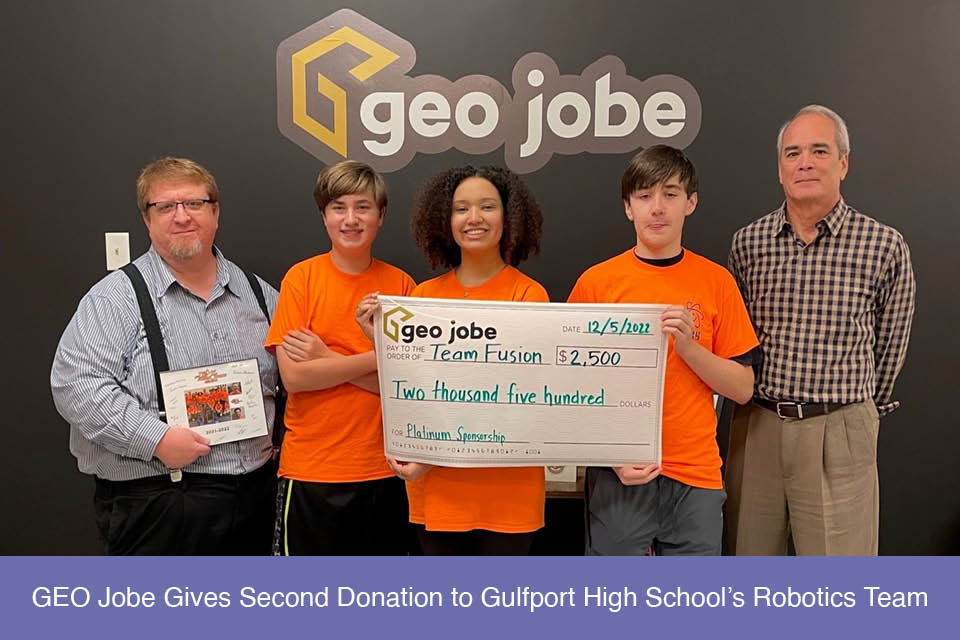
GEO Jobe is proud to announce the sponsorship of Gulfport High School’s Team Fusion Robotics team #364. This is GEO Jobe’s second sponsorship and allows the […]
Have you ever deleted content from your ArcGIS Online (AGOL) account and it’s permanently gone? GEO Jobe has an application called Backup My Org (BMO) that […]
The holiday season and Christmas are once again almost upon us. Christmastime can be busy, and filled with an abundance of things; work that needs to […]
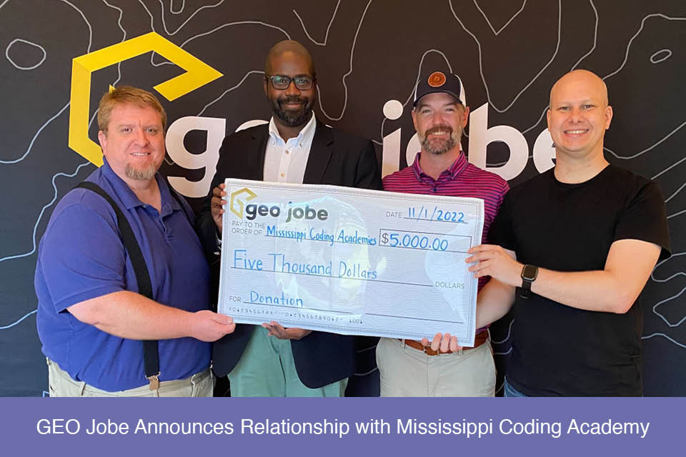
GEO Jobe is pleased to announce a second donation to the Mississippi Coding Academy. These funds will be allocated to support efforts and technology for their […]
Written by Peter George and Tony Segero Processing speed can be a major crutch in geospatial data analytics. Integrating Apache Spark’s analytics engine can help expedite […]
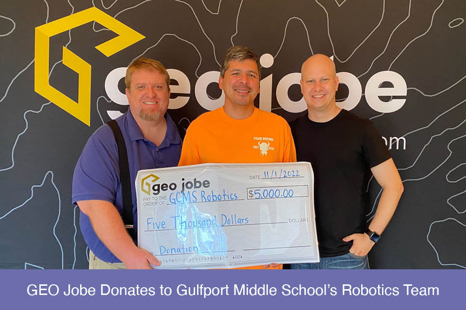
GEO Jobe is proud to announce the sponsorship of Gulfport Middle School’s Pink Diamonds Robotics team for the second year in a row. GEO Jobe’s sponsorship […]
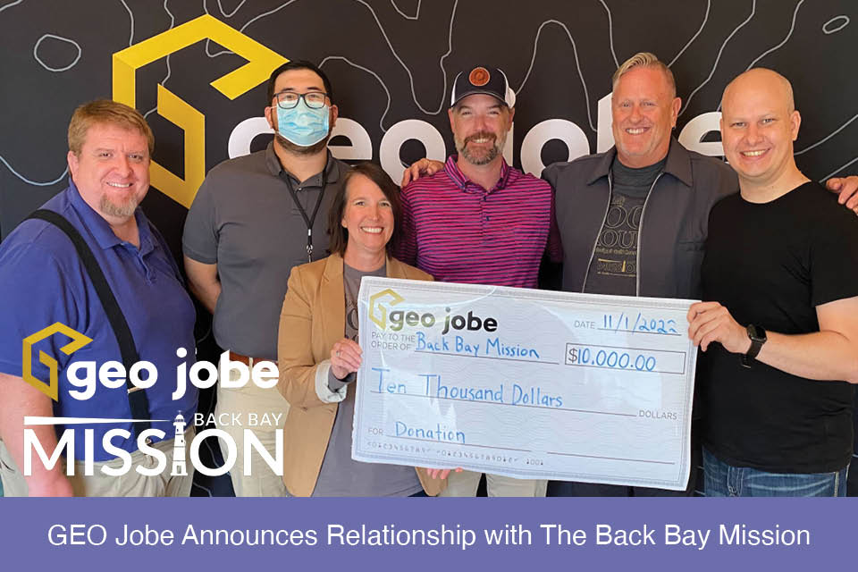
GEO Jobe is pleased to announce a donation to The Back Bay Mission. This donation of $10,000 on behalf of GEO Jobe symbolizes their investment into […]
Why Calcite Components? Esri’s Calcite Components is a library of web components that provides commonly used UI elements that you can use to compose a modern, […]
GEO Jobe is pleased to welcome Kenny Tran as a Technician on their Profession Services Software Development team. Prior to GEO Jobe, Kenny was a Management […]