San Diego Convention Center, San Diego, California Get ready for an unparalleled GIS experience at the Esri User Conference (UC), happening July 15th-19th at the stunning […]
What are Dependencies? As a GIS specialist, you may be familiar with working in an ArcGIS Organization, a company’s collaborative web GIS portal that is composed […]
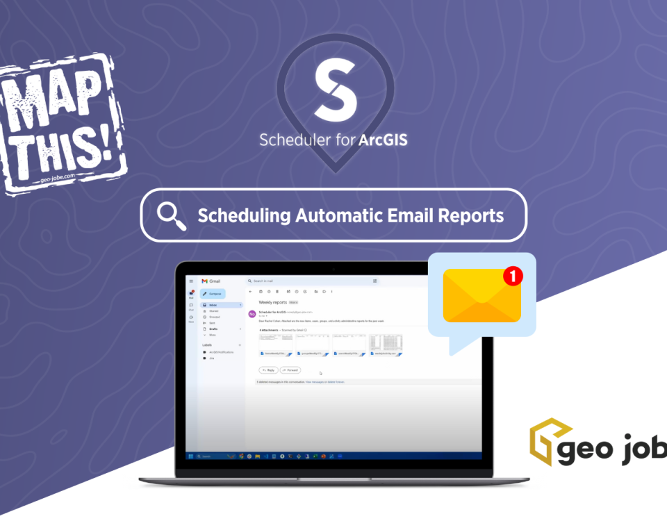
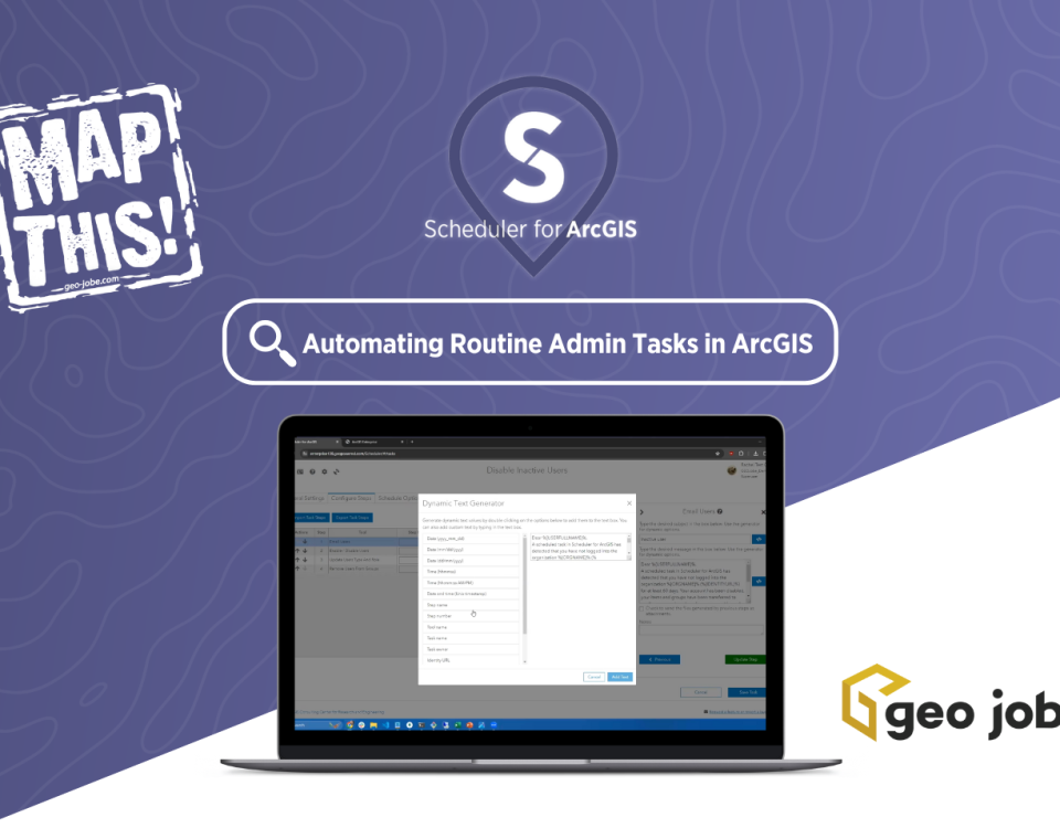
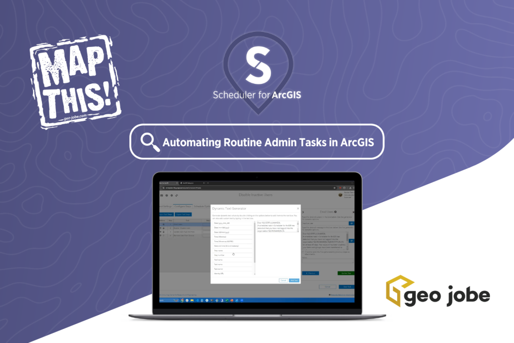
Are you a busy ArcGIS® Administrator daydreaming about saving time and effort managing your ArcGIS System? Of course not, you’re too busy! Good news is there’s […]
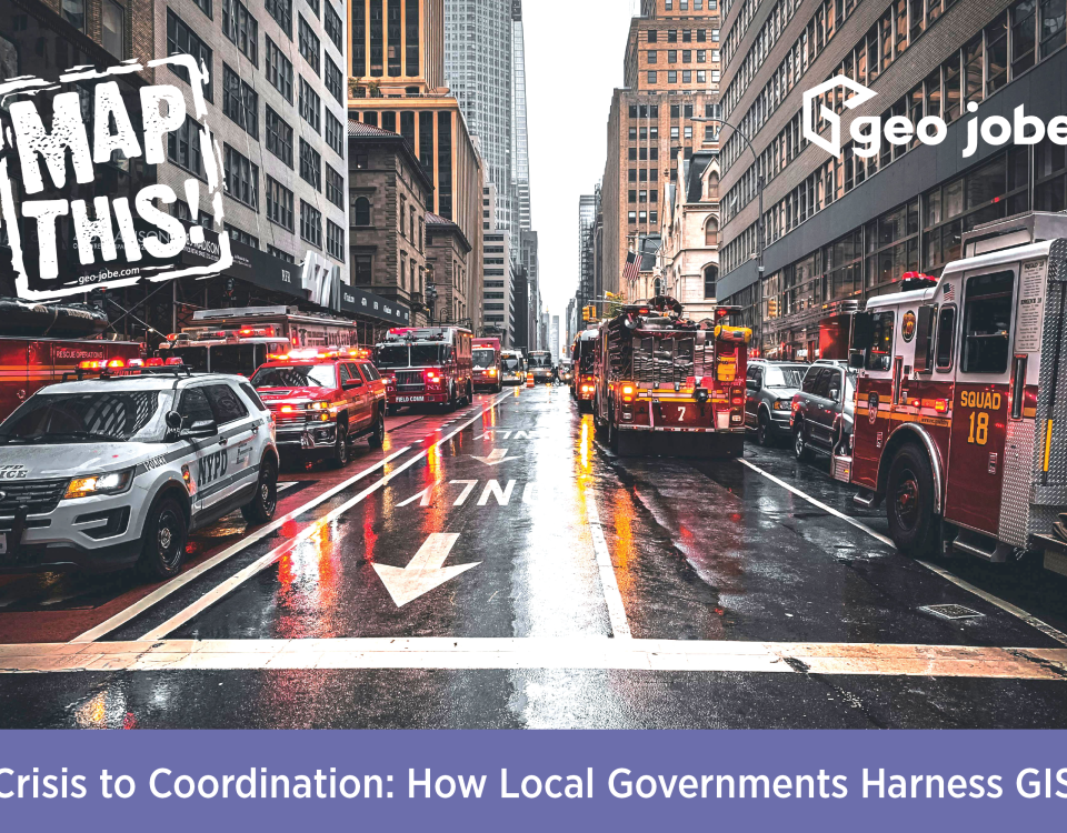
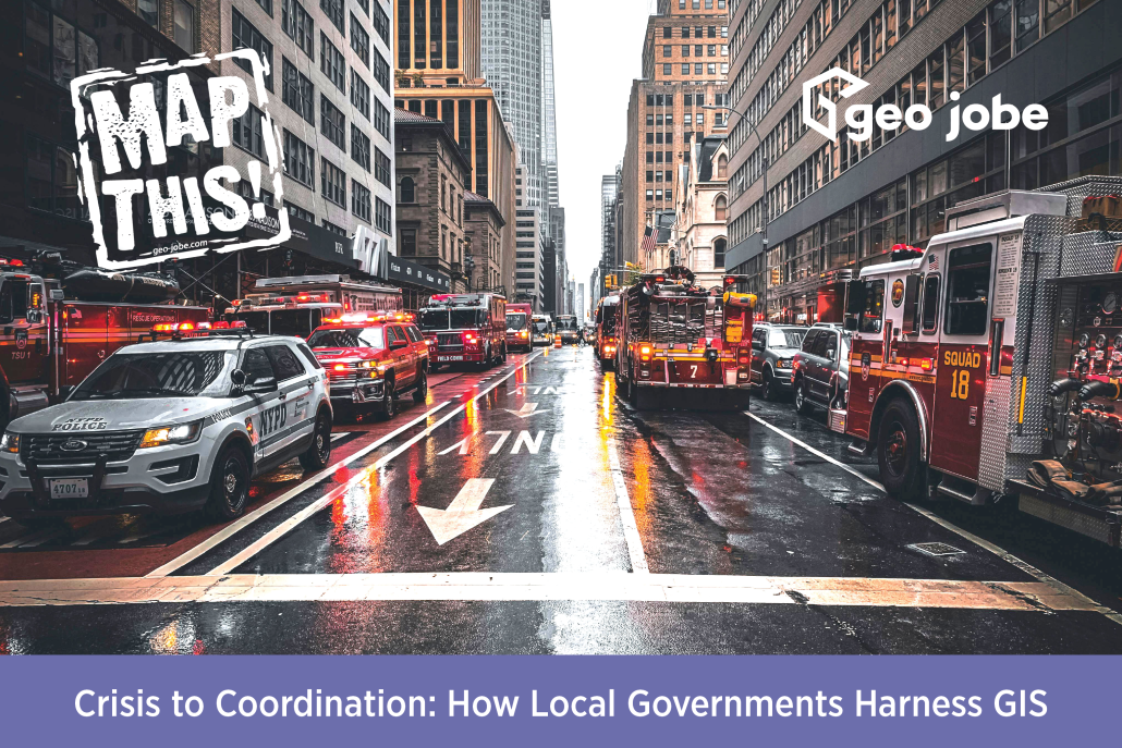
Image Source: Erik Mclean | Pexels Have you ever wondered how local governments can streamline so many different events or emergency responses? It’s because they utilize […]
Are you a busy ArcGIS Administrator juggling multiple tasks, projects, and deadlines? Would you like to have more time to finish your morning coffee instead of […]
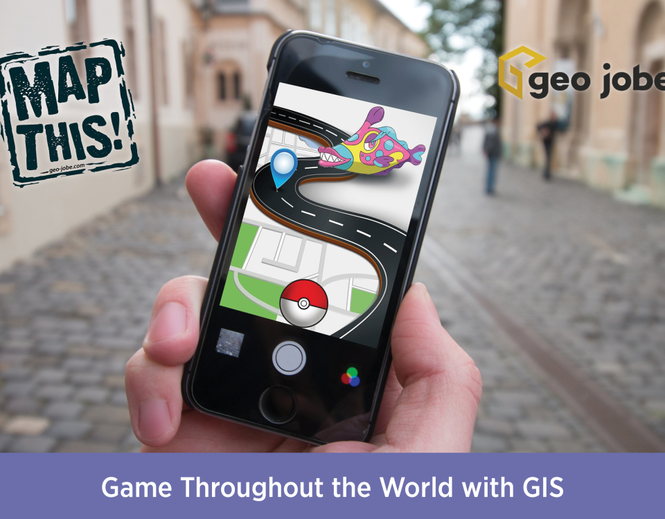
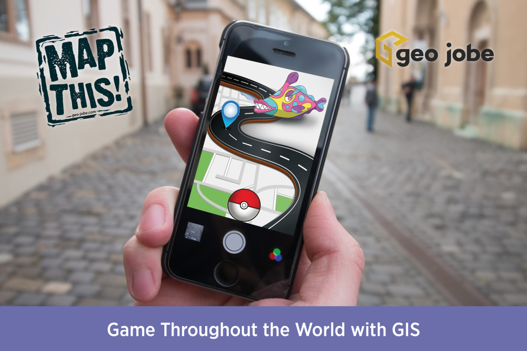
Photo by Element5 Digital from Pexels I am a huge lover of video games, and especially their maps and environments. Growing up on a wide variety of […]
Further your GIS knowledge with Esri MOOCs and more! The GIS field is a vast field with multiple specializations and consistent new developments. While a GIS […]
In a previous GEO Jobe blog article, we began the process of setting up a React application to develop custom ArcGIS Map widgets as React components. […]
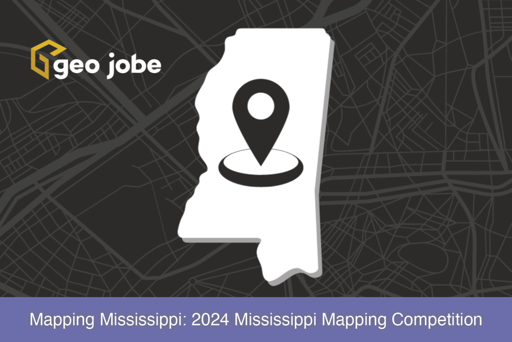
In This Article… What is the Mississippi Mapping Competition? The Mississippi Mapping Competition is the state’s effort into Esri’s ArcGIS Online competition for U.S. high school […]


